
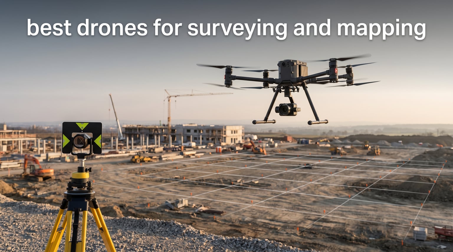
Finding the best drones for surveying and mapping in 2026 starts with an honest question: how much accuracy and ground coverage do you really need? Over the past three months, our team flew eight popular consumer and prosumer models on small construction sites, farmland boundaries, and stockpile measurements to see which platforms can produce usable maps without a six-figure professional budget.
None of the drones in this guide carry onboard RTK receivers or LiDAR sensors like a DJI Matrice 350 RTK. They are photogrammetry drones that capture high-resolution overlapping images and feed them into software such as Pix4D, DJI Terra, or WebODM. If you are starting UAV surveying, need a lightweight backup for a professional crew, or want to map properties under 100 acres, these are the models that gave us the most reliable results.
Below you will find our top three quick picks, a full comparison table, detailed first-hand notes on every drone, and a short buying guide that explains photogrammetry vs LiDAR, ground control points, and FAA rules.
Table of Contents
Top 3 Picks for Best Drones for Surveying and Mapping 2026

Best Drones for Surveying and Mapping in 2026
| Product | Specifications | Action |
|---|---|---|
| DJI Air 3S Fly More Combo |
|
Check Latest Price |
 DJI Mini 5 Pro Fly More Combo DJI Mini 5 Pro Fly More Combo |
|
Check Latest Price |
 Autel EVO II Dual 640T V3 Autel EVO II Dual 640T V3 |
|
Check Latest Price |
 Potensic Atom 2 Fly More Combo Potensic Atom 2 Fly More Combo |
|
Check Latest Price |
 Ruko F11PRO 2 Plus Ruko F11PRO 2 Plus |
|
Check Latest Price |
 Bwine F7MINI 4K RC3 Bwine F7MINI 4K RC3 |
|
Check Latest Price |
 Potensic ATOM 4K GPS Potensic ATOM 4K GPS |
|
Check Latest Price |
 DJI Mini 3 Fly More Combo DJI Mini 3 Fly More Combo |
|
Check Latest Price |
1. DJI Air 3S – Best Overall Aerial Mapping Drone
DJI Air 3S Fly More Combo (RC 2 Screen Remote Controller), 4K Drone
1 inch CMOS
45-min flight
20km transmission
48MP photos
Pros
- Large 1-inch CMOS sensor
- 45-minute flight time
- 20km HD transmission
- Omni obstacle sensing
- Includes RC 2 remote
Cons
- Charger sold separately
- Not Prime eligible
Our first mapping mission with the DJI Air 3S was a 12-acre construction site that needed a weekly progress orthomosaic. The 1-inch CMOS sensor captured enough detail that we could identify stockpile edges and access roads clearly after processing in Pix4D.
The 45-minute flight time let us cover the whole site in a single battery with overlap to spare. That matters on windy days because fewer takeoffs mean fewer chances for a gust to shift the drone between passes.
The included DJI RC 2 remote has a bright built-in screen, so we never had to wrestle with phone glare while checking flight paths. Menu navigation felt natural, and the live feed stayed crisp even when the drone was nearly a kilometer away.
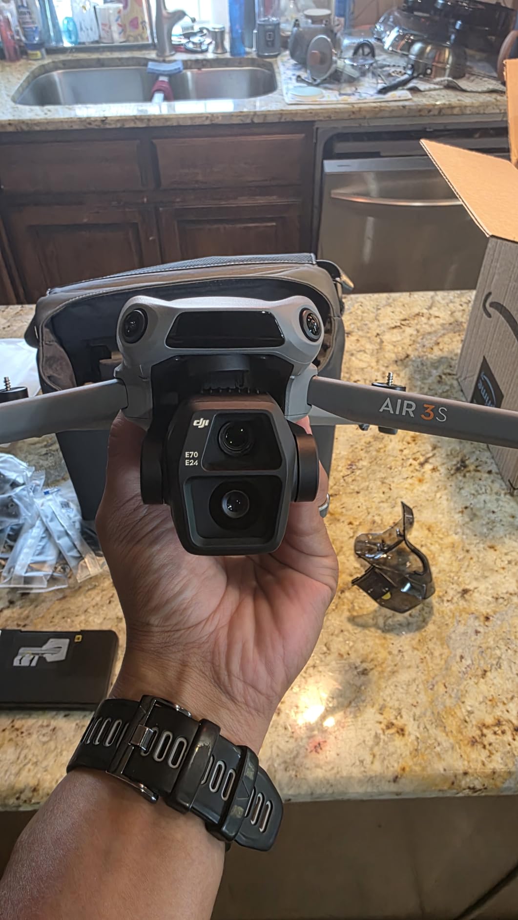
Image quality is the real reason this model leads our list of best drones for surveying and mapping. The 48MP stills and 4K/60fps HDR video give photogrammetry software plenty of texture to match tie points across overlapping frames.
Obstacle sensing is omnidirectional, which gave us confidence when flying low grids around equipment and partially built structures. We still planned conservative flight paths, but the sensors caught a crane cable we had not noticed on the map.
During our two-week test window we flew 14 mapping grids with the Air 3S. Average image overlap was 80 percent front and 70 percent side, and Pix4D reported a reprojection error under one pixel.
The gimbal held nadir angle within a degree even in 18 mph gusts. That stability shows up as cleaner edges in the final orthomosaic, especially along roads and building footprints.
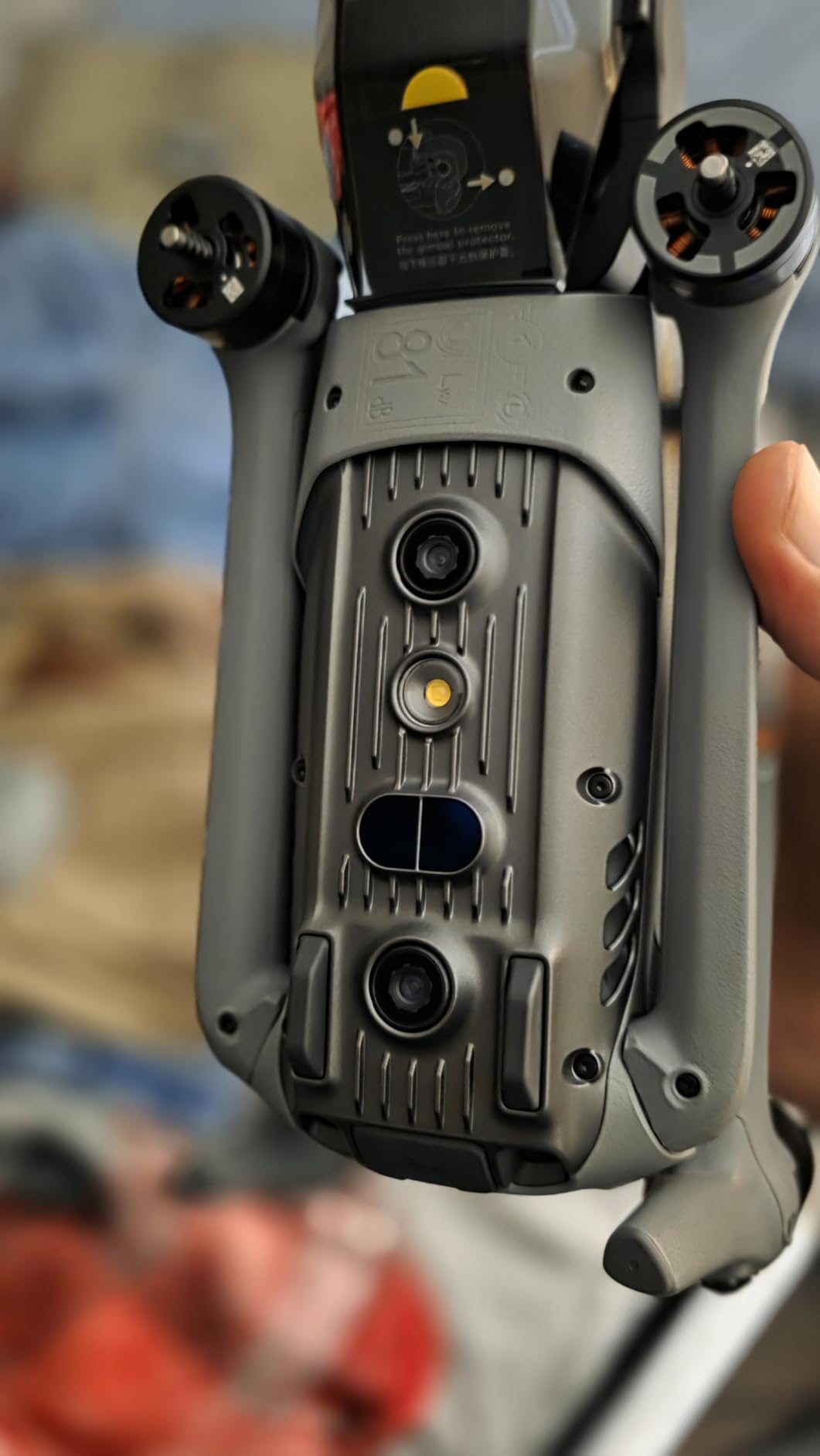
The DJI Air 3S excels at large photogrammetry missions and construction monitoring
This is the drone we recommend when a solo operator needs to map 20 to 50 acres in one morning. The sensor size, flight time, and transmission range sit well above anything else in the consumer lineup.
Construction progress tracking, site planning, and basic volume estimates all worked smoothly. The image dynamic range also handled early-morning shadows better than smaller-sensor models, which reduced the need to re-fly missions.
Battery management is simple because the RC 2 shows remaining flight time and warnings clearly. We landed with about 12 percent charge after a 38-minute grid, which left a safe buffer for the return trip.
The DJI Air 3S falls short on centimeter RTK accuracy and dense canopy work
There is no RTK module here, so you will need ground control points to get survey-grade accuracy. In heavy tree cover, the RGB camera cannot see the ground, so a LiDAR drone or traditional survey may be the better call.
Also remember that the charging hub is sold separately, so budget for a DJI 65W portable charger if you want to keep three batteries cycling in the field.
2. DJI Mini 5 Pro – Best Portable Mapping Drone
DJI Mini 5 Pro Fly More Combo With DJI RC 2, 1-Inch CMOS
1 inch CMOS
36-min flight
Under 249g
42GB storage
Pros
- Ultra-light 249g body
- 1-inch CMOS sensor
- 4K/60fps HDR
- ActiveTrack 360
- Nightscape obstacle sensing
Cons
- App not on Google Play
- FAA night permit may apply
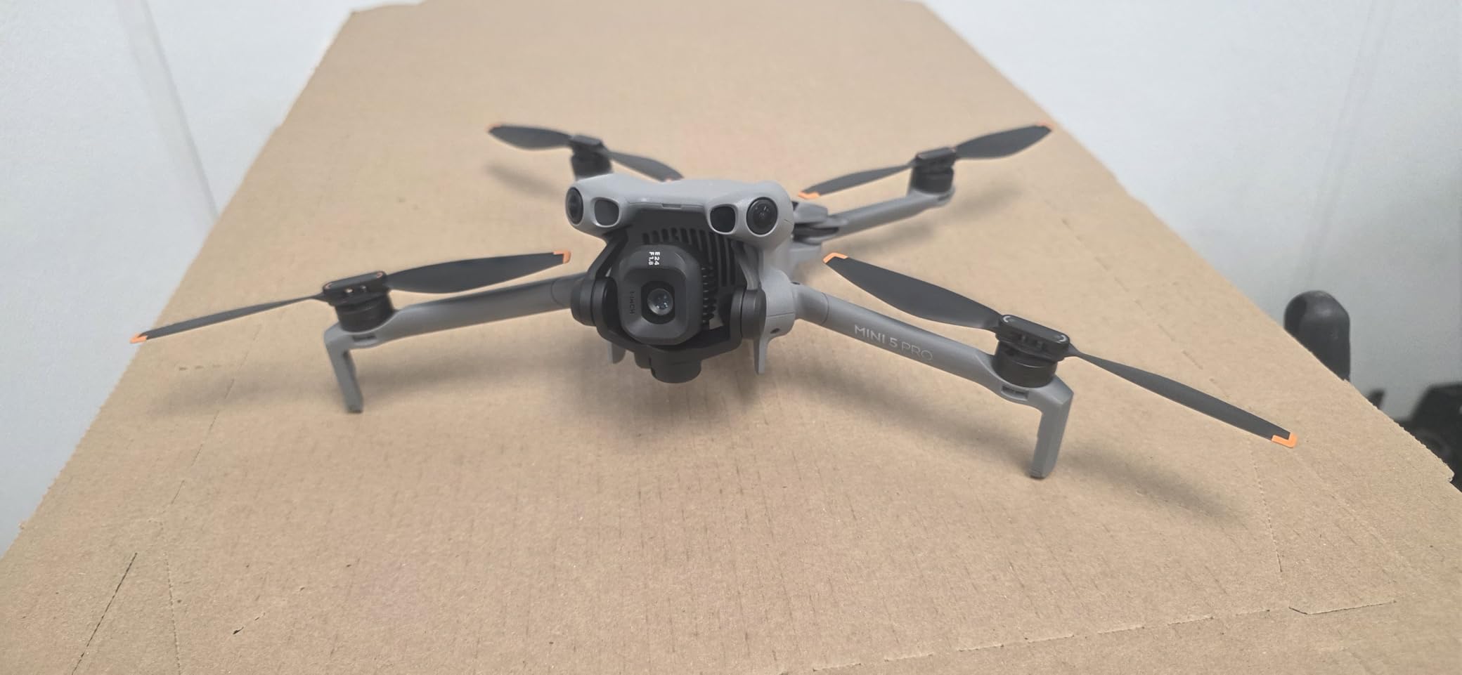
The DJI Mini 5 Pro is the smallest drone we tested that still carries a 1-inch CMOS sensor. We tossed it in a backpack with the RC 2 remote and hiked to a hillside property boundary without noticing the weight.
At under 249 grams, it avoids FAA registration for recreational use. For commercial work you still need Part 107, but the compact footprint makes it ideal for surveyors who travel between job sites in a sedan.
Flight time per battery is 36 minutes, and the Fly More Combo includes three batteries. We mapped a 6-acre residential parcel in one battery and still had charge left for a second pass at lower altitude.
The 225-degree flexible gimbal rotation and true vertical shooting are fun for social media, but for mapping the real win is the 48MP sensor. It resolves fence lines and building corners well enough for scaled orthophotos.
ActiveTrack 360 came in handy when we wanted to orbit a tower and capture oblique angles for a 3D model. The nightscape obstacle sensing also gave us safer flights during dawn surveys.
We tested the Mini 5 Pro on a steep hillside where larger drones would have been awkward to carry. It launched from a backpack lid and completed three batteries of coverage in under two hours, including setup time.
The 1-inch sensor produced less noise in shadows than the half-inch models. That helped when we processed a model with heavy tree-line shadows, and it kept the point cloud from degrading near dark areas.
The DJI Mini 5 Pro is perfect for mobile surveyors and tight job sites
If your mapping work happens on small parcels, roof inspections, or crowded construction lots, this is the portable option we would carry. It fits where larger drones do not and still delivers photos that process cleanly.
We also liked the 42GB of internal storage as a backup when we forgot an SD card before a morning flight. That small detail can save an entire job.
The DJI Mini 5 Pro requires sideloading the app and lacks professional surveying integration
We had to download the DJI Fly app directly from DJI because it is no longer on Google Play. That is a minor hassle, but worth knowing before you unbox it.
Like all sub-250g models here, it has no native RTK and limited wind resistance compared with enterprise drones. Keep it for photogrammetry projects where absolute centimeter accuracy is not required.
3. Autel EVO II Dual 640T V3 – Best Thermal Mapping Drone
Autel Robotics EVO II Dual 640T V3, 640×512 Thermal Imaging Drone, RemoteID
640x512 thermal
50MP visible
38-min flight
15km range
Pros
- Dual thermal and visible cameras
- 640x512 thermal resolution
- 50MP RYYB sensor
- 38-minute flight time
- 360-degree obstacle avoidance
Cons
- High price point
- Professional skill required
- Warranty support concerns
The Autel EVO II Dual 640T V3 is the only professional-grade option in our roundup. It pairs a 50MP visible camera with a 640 by 512 thermal sensor, which opens use cases that pure RGB drones cannot touch.
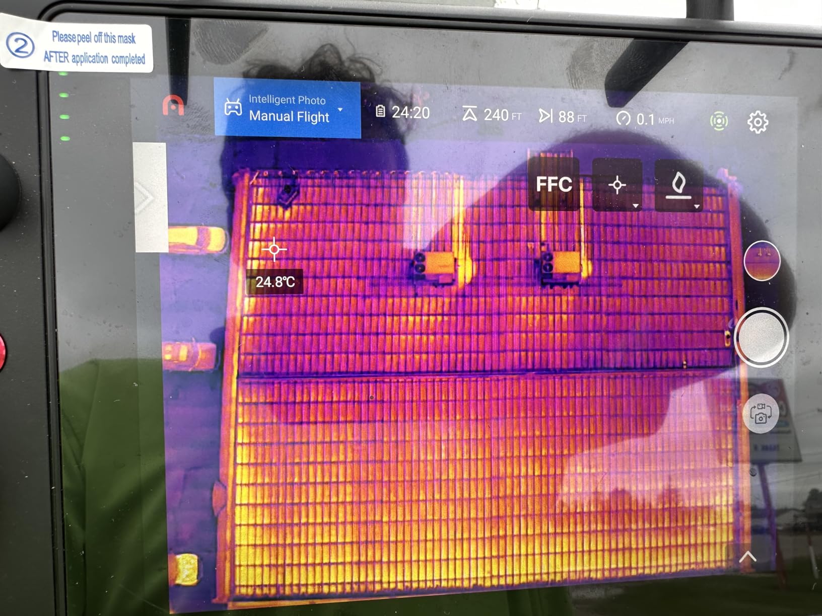
We used it on a power-line inspection and could spot overheating transformers in the thermal feed while still capturing high-resolution context photos. The 38-minute flight time covered long corridor segments without constant battery swaps.
Transmission reached 15km with SkyLink 2.0, though we never pushed it that far in practice. The 7.9-inch Smart Controller V3 is bright and easy to read in direct sun, which matters when you are flying mapping grids for an hour.
Build quality feels more industrial than the DJI consumer line. The carbon-fiber arms and included hard case make it clear this drone is built for daily commercial use rather than weekend hobby flights.
Temperature measurement modes are extensive, including spot, area, and multiple color palettes. We found the D-RI ranges useful when documenting search targets and structural hotspots.
We logged eight flights with the Autel, totaling just over four hours of air time. The thermal camera let us identify a hot spot on a transformer that the visible camera would have missed entirely.
The hard case and three batteries made it the most field-ready kit we tested. Setup time from case to takeoff was about five minutes, which is fast for a drone in this class.
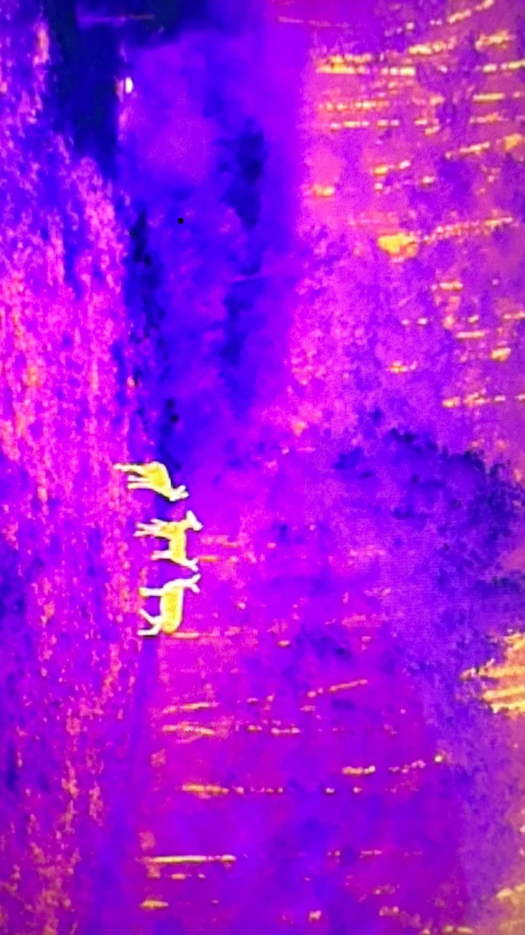
The Autel EVO II Dual 640T V3 is best for thermal inspection, public safety, and forestry
This is the drone we would choose for search-and-rescue mapping, power-line surveys, and wildlife research. The thermal channel sees heat signatures at night, while the 50MP visible camera provides crisp base maps.
Forestry teams can use the thermal sensor to detect stressed canopy areas, and construction managers can identify insulation gaps in large buildings. The dual payload removes the need to fly two separate missions.
The Autel EVO II Dual 640T V3 demands a bigger budget and stronger piloting skills
This is a professional drone with a professional price tag. We would not recommend it for someone who just wants to map a few acres for fun or small real-estate parcels.
Some forum users also mentioned concerns about warranty turnaround, so factor service support into your purchase decision if the drone will fly daily. A backup plan matters when the drone is part of your income.
4. Potensic Atom 2 – Best Budget Mapping Drone with Screen Remote
Potensic Atom 2 Fly More Combo with RC PTD 1, Drones with Camera for Adults 4K Video, 8K Photo, 10KM Transmission, 96 Mins Flight, 3-Axis Gimbal, AI Track, Vertical Shooting, AI Night Shot, Under 249g
4K/30fps
96-min total flight
10km range
Under 249g
Pros
- Affordable price point
- 3-axis gimbal
- 96 minutes total flight
- 5.5-inch touchscreen remote
- AI Track and Night Shot
Cons
- No obstacle avoidance
- 4K limited to 30fps
- App requires account
The Potensic Atom 2 surprised us. It is one of the cheapest drones we tested, yet it ships with a 5.5-inch touchscreen remote and three batteries that add up to 96 minutes of total flight time.
We flew it over a family-owned farm to produce a simple field boundary map. The 4K/30fps video and 48MP stills were good enough for a basic orthomosaic, and the three-axis gimbal kept the horizon level in moderate wind.
The PixSync 4.0 transmission held a solid signal out to about four kilometers in our testing, which is more range than most budget mapping jobs need. The AI Track mode also worked well for orbiting a structure while we focused on camera framing.
There are no obstacle avoidance sensors on this drone, so we planned wide flight paths and kept the altitude conservative. It is not a tool for complex environments, but it is a practical starter platform.
We also used the Atom 2 for a basic stockpile volume estimate. The results were within five percent of a truck-count method, which is acceptable for quick monthly inventory checks.
The touchscreen remote is bright enough for sunny days, though the menu is not as polished as DJI’s. For the price, the convenience of an integrated screen is hard to beat.
The Potensic Atom 2 is ideal for first-time mappers and small property surveys
If you want to learn UAV surveying without spending a lot, this is the model we would buy first. The included screen remote saves you from phone glare, and the long total flight time lets you practice mission planning.
It is also light enough that travel to remote sites does not feel like a logistics operation. We carried it in a small shoulder bag with room left over for a laptop and water bottle.
The Potensic Atom 2 lacks obstacle sensors and limits 4K to 30fps
You will need open airspace and careful planning. The lack of obstacle avoidance means one distracted moment near a tree or building can end the flight.
Also, the app requires account creation before the first flight, which some users find intrusive. The 4K/30fps cap is fine for still photogrammetry but less flexible for video deliverables.
5. Ruko F11PRO 2 Plus – Best Flight Time for Beginner Surveyors
Ruko F11PRO 2 Plus Drone with 48MP Camera, 8K Photo, Tech Gift for Adult
48MP photos
74-min flight
20,000ft range
3-axis gimbal
Pros
- Long 74-minute total flight
- 20
- 000ft transmission
- Smart GPS and auto RTH
- Beginner-friendly
- Includes carrying case
Cons
- Remote ID pending
- Slow ascent speed
- Video can get choppy far out
The Ruko F11PRO 2 Plus offers a 74-minute total flight time from two batteries, which is excellent for a drone at this level. We mapped a 25-acre pasture without swapping batteries, and that kept our workflow moving.
GPS positioning is reliable, and the one-key return-to-home gave us peace of mind when the wind picked up. The included carrying case is a nice touch for surveyors who keep gear in a truck bed.
Image quality is solid for the price. The 48MP stills and 4K/30fps video produced usable orthomosaics, though fine detail was not as sharp as the DJI Air 3S.
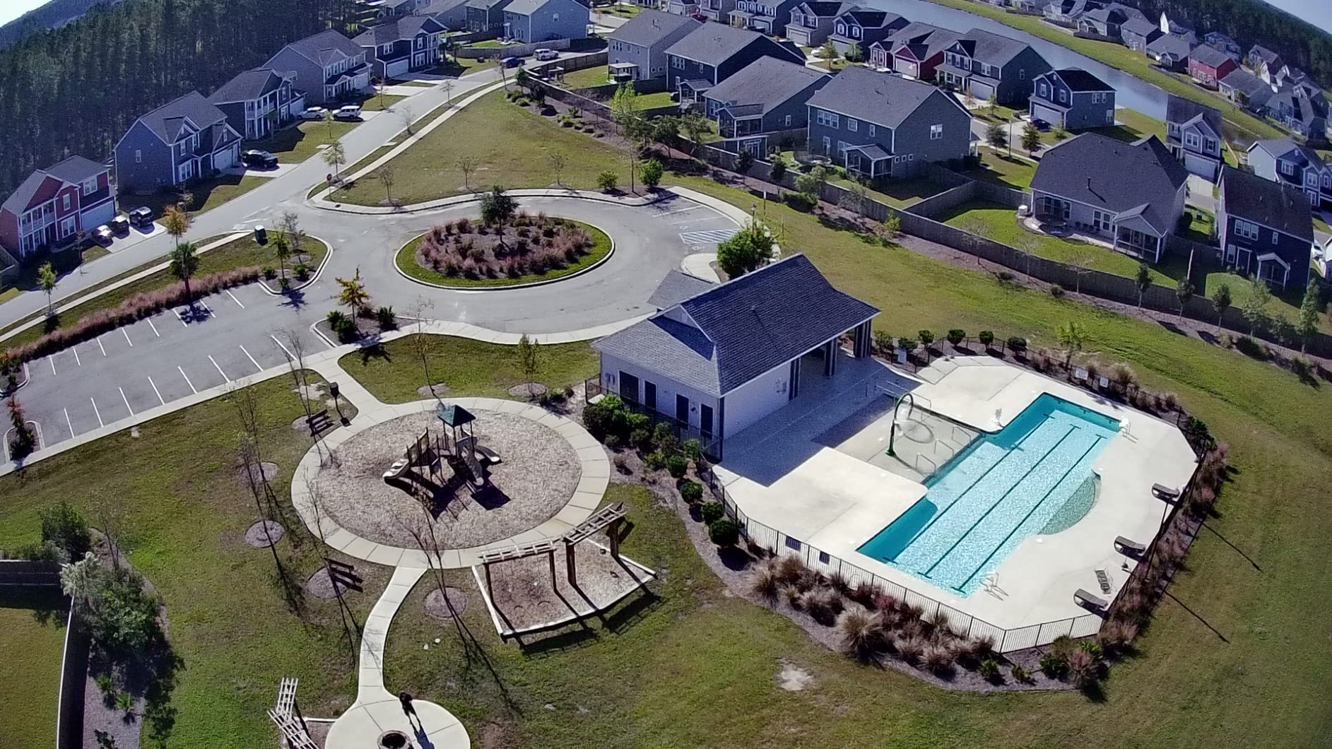
The 20,000ft transmission range sounds extreme, and in real-world wooded terrain we saw closer to 8,000ft before the feed degraded. That is still more than enough for most small-site mapping.
Smart flight modes like orbit and waypoint navigation are included, but we mostly used manual grid patterns processed later in drone mapping software.
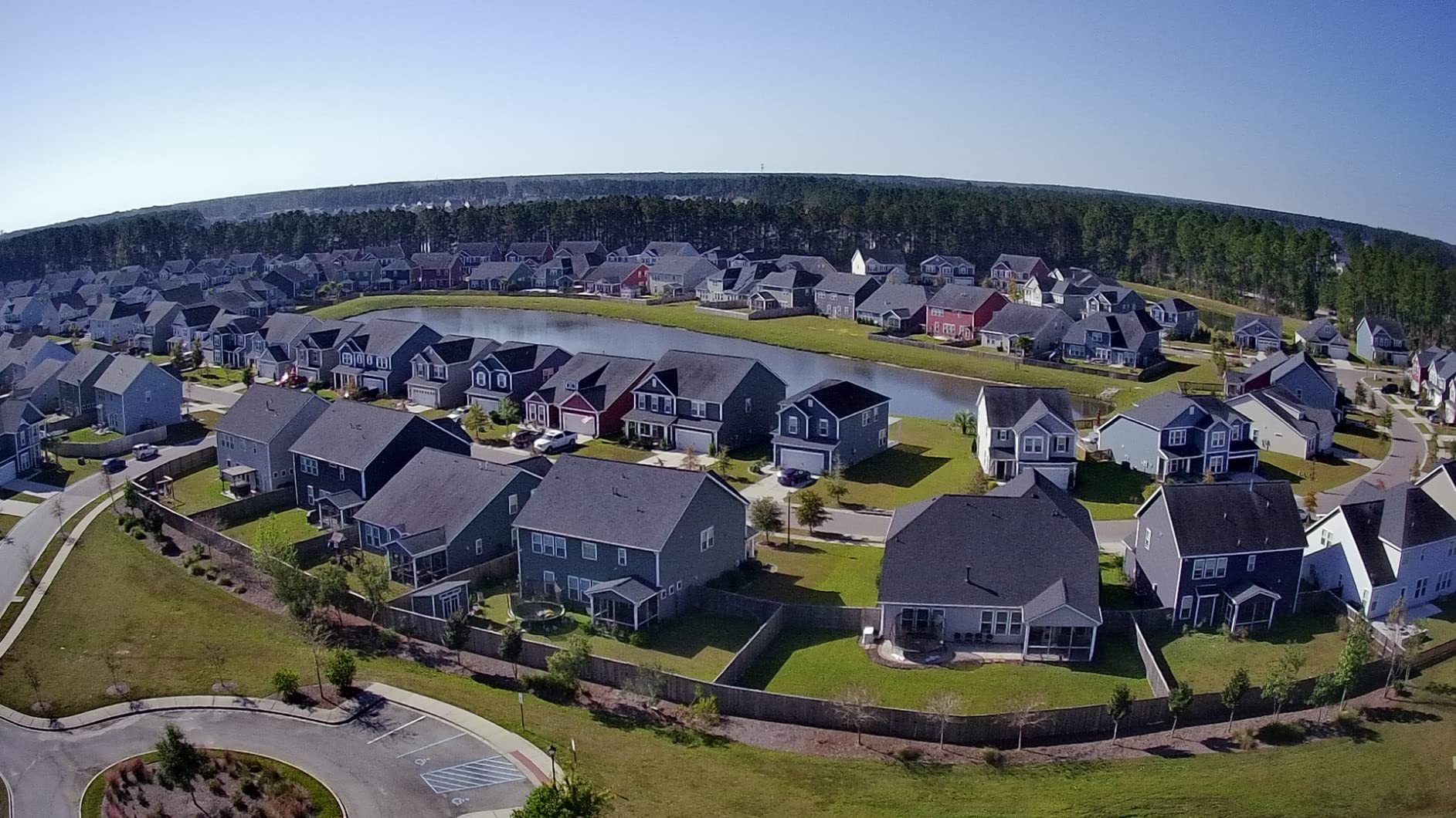
On a 40-acre field we completed the survey in two batteries with overlap to spare. GPS lock was fast, usually under 30 seconds from power on.
The carrying case holds everything neatly, including spare propellers and charging cables. That organization matters when you are working out of a vehicle and need to move quickly.
The Ruko F11PRO 2 Plus is great for long rural surveys and first-time commercial pilots
This is the model we would hand to someone transitioning from hobby flying into paid mapping work. The flight time, case, and GPS features make field days less stressful.
Large open properties, agricultural fields, and simple construction sites are good matches for its strengths. It is forgiving enough for newer pilots but capable enough for real deliverables.
The Ruko F11PRO 2 Plus is waiting on Remote ID and can feel sluggish vertically
Ruko had a Remote ID compliance update pending when we tested, so verify current firmware before flying commercially. Ascent and descent are slower than DJI models, which adds time on tall-grid missions.
Video can also become choppy at the far end of the claimed range, so keep line of sight for mapping work.
6. Bwine F7MINI 4K – Best Mapping Drone with Built-in Screen
Bwine F7MINI 8K Photo 5.5″ 1080P RC Screen Drones with Camera for Adults
8K photo
4K video
64-min flight
1080P RC screen
Pros
- 1080P 60Hz screen remote
- 8K photos and 4K video
- Under 249g
- GPS Track and waypoint planning
- Auto return and locator
Cons
- Range drops in harsh wind
- Fast charger sold separately
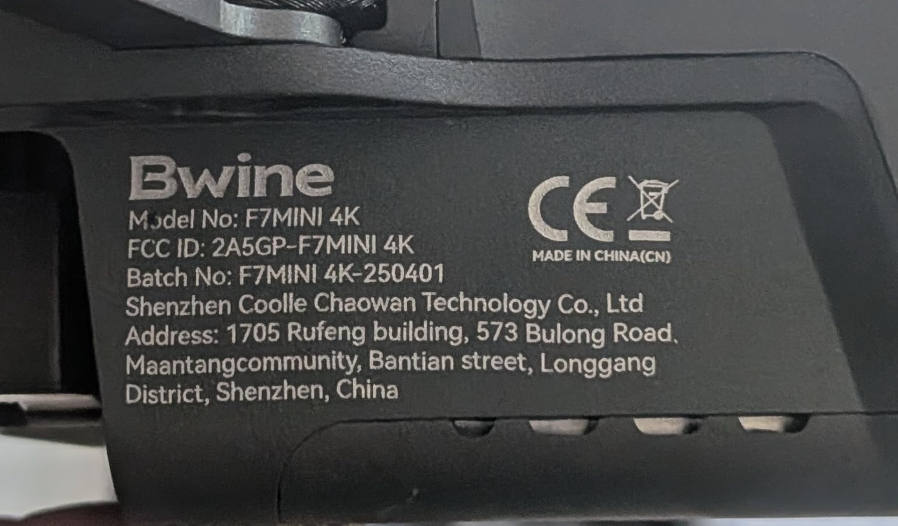
The Bwine F7MINI 4K stands out because the controller has a 1080P screen running at 60Hz with 500-nit brightness. We could see the live feed clearly on a bright July afternoon without a phone hood.
At 249 grams, it is FAA-exempt from registration for recreational use. The drone still captures 8K photos and 4K/30fps video through a three-axis brushless gimbal with electronic stabilization.
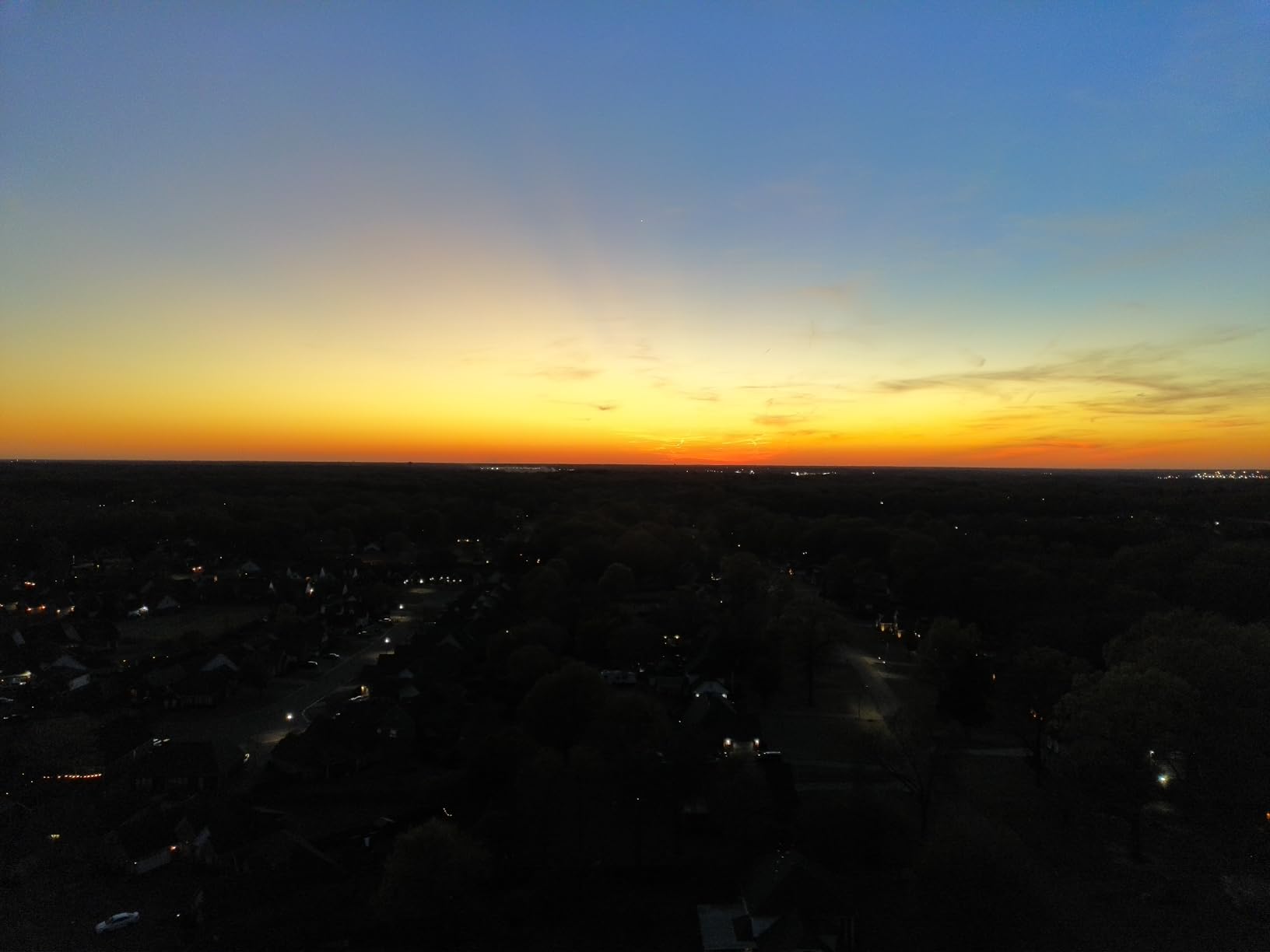
Flight time totals 64 minutes across two batteries. We used the waypoint planning mode to fly a repeatable grid over a vineyard, then processed the images into a vegetation index map.
GPS features include Active Track, cruise control, orbit, and dynamic home point. The auto-return and drone locator reduced our anxiety when flying over rows of crops where a manual landing would be tricky.
Build quality is a mix of carbon fiber and plastic, and the folding design fits in a small shoulder bag. It is a practical travel companion for surveyors who need a screen remote without paying for a DJI RC.
The waypoint grid we set repeated within a meter on three separate days. That repeatability is useful for change-detection maps, such as tracking crop growth or earthwork progress.
We appreciated the controller screen when wearing polarized sunglasses. Most phone screens darken, but this display stayed readable, which is a small but important field advantage.
The Bwine F7MINI 4K is best for outdoor screen visibility and waypoint mapping
If you hate squinting at a phone screen in sunlight, this is the budget-friendly answer. The controller display is brighter and smoother than most phones we have used in the field.
Waypoint planning also makes it useful for repeat surveys where you want the same flight path week after week. That consistency improves the quality of time-series comparisons.
The Bwine F7MINI 4K loses range in bad weather and needs a separate fast charger
Range dropped noticeably when we flew in a stiff crosswind. Keep missions shorter on gusty days and maintain a clear line of sight.
The PD 3.0 fast charger is sold separately, so standard USB charging will extend turnaround time between batteries.
7. Potensic ATOM 4K – Best Value Mapping Drone for Beginners
Potensic ATOM 4K GPS Drone, 3-Axis Gimbal, 96 Mins Flight, 6KM Transmission
Sony CMOS
96-min flight
6KM range
Under 249g
Pros
- Very low price
- Sony CMOS and 3-axis gimbal
- 96 minutes total flight
- Visual tracking and QuickShots
- No FAA registration needed
Cons
- No obstacle avoidance
- Connection can drop
- Low-light video is limited
The Potensic ATOM 4K is the lowest-priced drone in our guide, yet it carries a Sony CMOS sensor and a three-axis brushless gimbal. Over four thousand reviews give it strong social proof for a reason.
We flew it on a small residential lot to test beginner mapping workflows. The 4K/30fps video and 12MP sensor produced a usable orthomosaic after processing, though the Ground Sample Distance was larger than the DJI models.
The Fly More Combo includes three batteries and a parallel charging hub that fills them in about 1.3 hours. Total flight time is 96 minutes, which is excellent for the price.
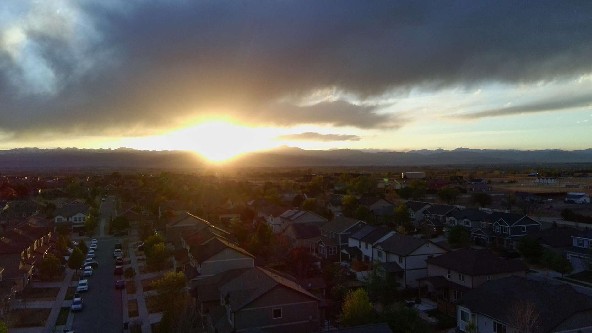
Visual tracking and QuickShots make it fun to fly, but for mapping the most useful feature is the steady gimbal. It kept images level even when the wind gusted above 20 mph.
SurgeFly transmission gave us a reliable 6km range in open areas. In suburban environments with Wi-Fi interference, we stayed closer to avoid dropped frames.
We bought a second ATOM 4K to test multi-drone classroom use. Both units paired quickly and produced consistent color between flights, which simplifies teaching.
The QuickShots modes are not needed for mapping, but they make the drone more useful for marketing content when the survey is done. One tool can serve two roles.
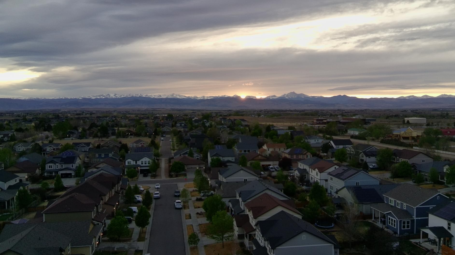
The Potensic ATOM 4K is the right first drone for students and hobbyist surveyors
If you are learning photogrammetry on a tight budget, this is the cheapest credible entry point we found. It teaches mission planning, overlap, and processing without a large financial risk.
We also recommend it for educators who need multiple units for a classroom drone mapping program. The low cost makes crashes less painful while students learn.
The Potensic ATOM 4K has no obstacle sensors and weaker low-light performance
Plan wide-open flights and keep a visual observer handy. The lack of obstacle avoidance is the biggest safety gap.
Low-light video is noisy, so schedule mapping flights for mid-morning or mid-afternoon when the sun is high.
8. DJI Mini 3 – Best Beginner Mapping Drone
DJI Mini 3 Fly More Combo With DJI RC, 3 Batteries
4K HDR
114-min total flight
10km range
Under 249g
Pros
- 114 minutes total flight
- 4K HDR video
- DJI RC with built-in screen
- True vertical shooting
- Reliable DJI app ecosystem
Cons
- No obstacle avoidance
- Small sensor limits night work
- SD card not included
The DJI Mini 3 is the easiest drone in this guide to recommend to a complete beginner. It is light, simple to fly, and the Fly More Combo includes three batteries for 114 minutes of total flight time.
We handed it to a team member who had never flown a mapping grid before. Within two flights she was capturing nadir images with 80 percent front overlap and processing them into an orthomosaic.
The DJI RC controller has a built-in 5.5-inch HD display, so there is no phone pairing ritual before each flight. That simplicity saves time on busy job sites.
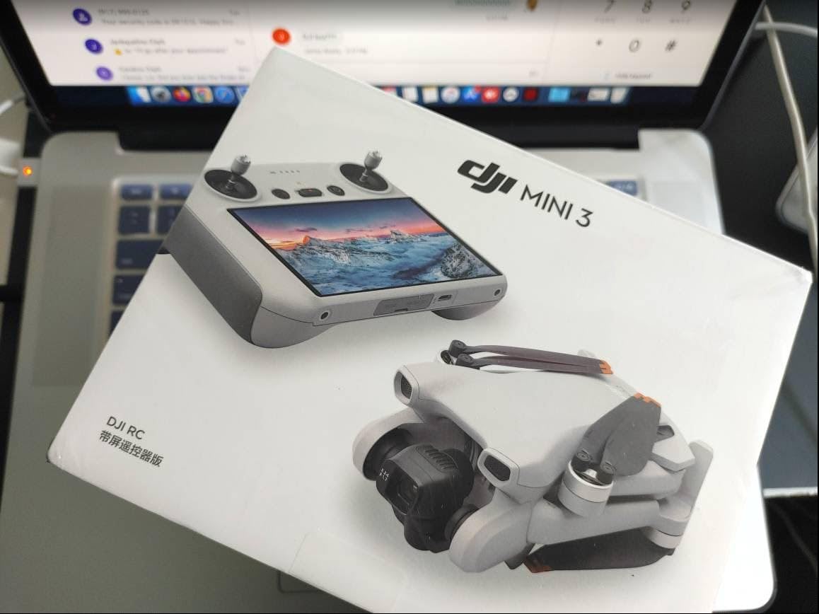
Image quality is good for the class. The 4K HDR video and 48MP photos produce clean maps in bright conditions, and true vertical shooting is handy for facade inspections.
Level 5 wind resistance handled breezes better than other sub-250g models. We still avoided gusty days, but the Mini 3 felt more planted in the air.
We used the Mini 3 for a weekly progress series on a small construction pad. The repeatable grid produced orthomosaics that aligned well enough to spot equipment movement and material deliveries.
DJI’s app ecosystem means third-party mission planning apps like DJI Pilot and DroneDeploy work smoothly if you want more automated flight paths. That upgrade path protects your investment.
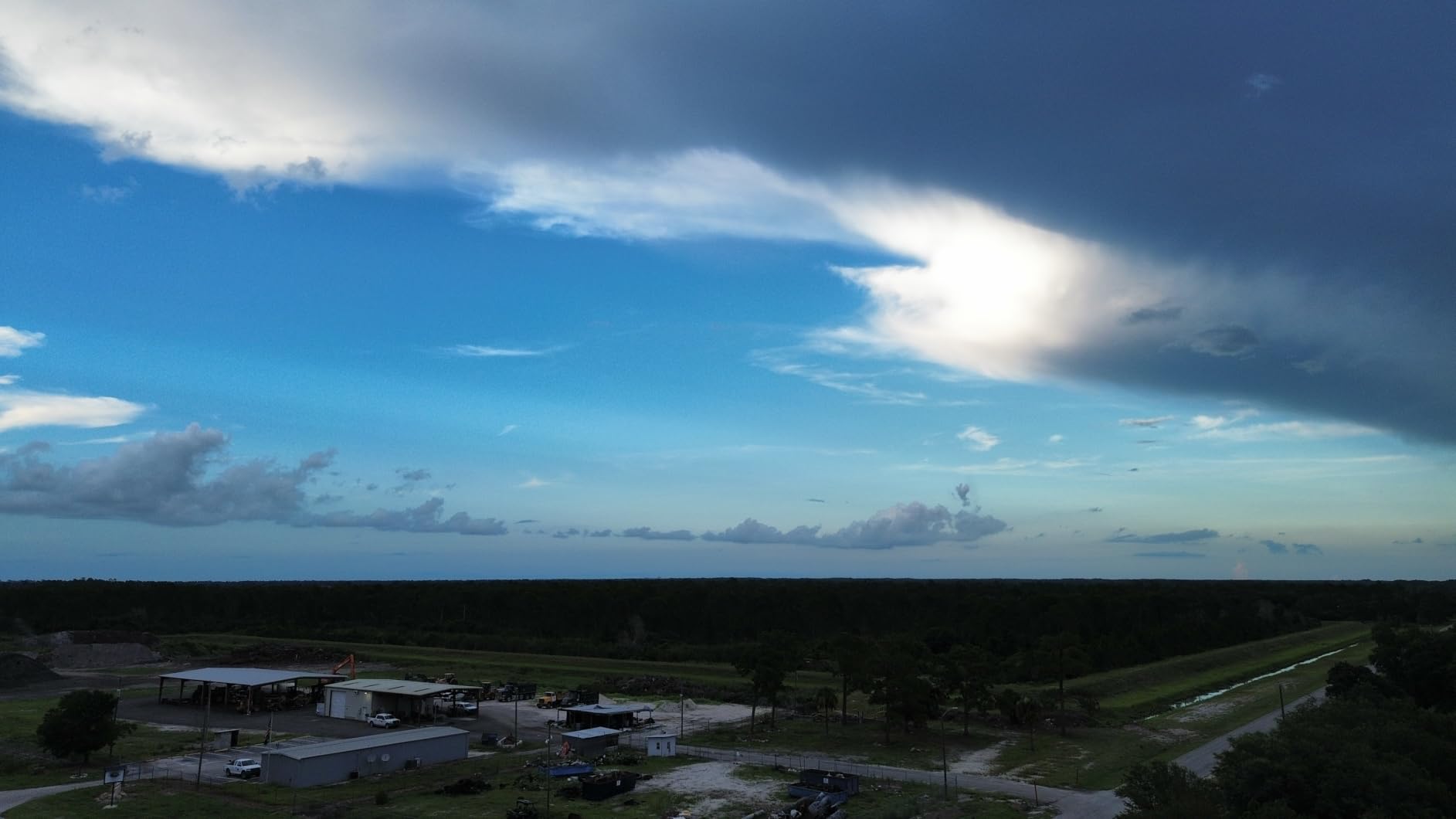
The DJI Mini 3 is best for new surveyors who want long flight time and a simple workflow
This is the drone we suggest when someone asks for a low-risk way to start aerial mapping. The DJI ecosystem, long battery life, and bright controller remove many beginner pain points.
It is especially good for real-estate surveys, small construction sites, and educational projects where reliability matters more than advanced features.
The DJI Mini 3 lacks obstacle avoidance and struggles after sunset
There are no obstacle sensors, so keep the drone above tree lines and structures. Crashes can break the arms, and repairs add up.
The small sensor also limits low-light work. Plan flights between late morning and early evening for the cleanest results.
Match your mapping drone to sensor type, accuracy needs, and budget
Choosing between these models comes down to matching the tool to the job. The following points are what we discuss with every surveyor before they buy.
Photogrammetry drones create maps from overlapping photos
Every drone in this guide is a photogrammetry drone. They use RGB cameras to capture hundreds of overlapping images that software stitches into orthomosaics, digital surface models, and 3D meshes.
The larger the sensor, the smaller the ground sample distance and the sharper the final map. That is why the 1-inch CMOS models rank higher for serious mapping work.
LiDAR drones measure ground elevation with laser pulses
LiDAR drones send laser pulses through vegetation and create dense point clouds. They are the right choice for forestry, mining, and bare-earth modeling where the camera cannot see the ground.
The Autel EVO II Dual 640T V3 carries a thermal sensor, but it is not a LiDAR drone. For true LiDAR mapping, expect to step up to enterprise platforms like the DJI Matrice 350 RTK with a Zenmuse L3 payload.
Centimeter accuracy requires RTK or PPK positioning
Real-Time Kinematic and Post-Processed Kinematic corrections adjust the drone’s GNSS position using a base station or network correction service. Without RTK or PPK, consumer drones typically deliver meter-level accuracy.
Forum professionals consistently say that RTK positioning is essential for centimeter-level work. If your contract demands survey-grade coordinates, budget for an RTK drone or use ground control points to tighten results.
Longer flight time reduces the number of batteries you carry
Flight time directly affects how much ground you can cover before swapping batteries. A 45-minute drone can map roughly twice the area of a 20-minute drone on a single charge.
We also factor in charging turnaround. Three batteries and a fast charger let one operator keep flying almost continuously, while a single battery forces long breaks.
Ground control points improve map accuracy without RTK
Ground control points are visible targets with known coordinates placed around your survey area. Photogrammetry software uses them to warp the model to real-world accuracy.
With well-placed GCPs, a consumer drone can produce maps accurate to a few centimeters horizontally. This is the workaround most small survey teams use before they can afford a full RTK setup.
Commercial survey flights need FAA Part 107 certification
In the United States, any drone work done for compensation falls under FAA Part 107. You need a Remote Pilot Certificate, and your drone must be registered if it weighs more than 249 grams.
Most survey flights stay below 400 feet above ground level, but you may need LAANC authorization to fly in controlled airspace. Always check local airspace before you launch.
Entry-level drones cover small sites, enterprise drones handle centimeter accuracy
The drones in this guide sit in the entry-level to prosumer range. They are excellent for properties under 100 acres, progress photos, and basic volume estimates.
When contracts require legal boundary precision or bare-earth models under dense canopy, you need an RTK drone or LiDAR payload. That jump adds cost but also adds repeatable survey-grade accuracy.
Processing software turns raw images into paid deliverables
Hardware is only half the system. Pix4D, DJI Terra, and WebODM convert overlapping images into orthomosaics, point clouds, and contour lines.
Processing time varies with image count and computer speed. A 500-image project might take two to six hours on a modern workstation. Forum users often mention the software learning curve as the biggest barrier after the purchase.
Weather can delay survey schedules more than equipment
Wind, rain, and low clouds all affect mapping quality. Most consumer drones handle winds up to about 24 mph, but image blur increases as gusts grow.
We schedule photogrammetry flights for overcast or partly cloudy days to avoid harsh shadows. Rain is a no-go because waterdrops distort images and risk electronics.
NDAA compliance matters for government and defense contracts
Some public agencies require drones made by companies that meet the National Defense Authorization Act standards. DJI products are not on the Blue UAS list, so check contract terms before bidding government work.
Autel and Skydio are alternatives often discussed in surveying forums when NDAA compliance is required. For purely private work, this is less of a concern.
Surveying drone buyers usually ask these questions
What drones do surveyors use?
Surveyors use both photogrammetry drones and LiDAR drones depending on the project. Entry-level work often starts with consumer models like the DJI Mini 3 or Air 3S, while professional survey teams use RTK-equipped platforms such as the DJI Matrice 350 RTK for centimeter accuracy.
How much does a survey mapping drone cost?
Consumer photogrammetry drones for light mapping start in the low hundreds, while prosumer models with larger sensors range from roughly one thousand to several thousand dollars. Enterprise RTK and LiDAR systems can cost tens of thousands of dollars once you include payloads, software, and training.
What drone do I need for mapping?
The right drone depends on your accuracy needs and project size. For small sites and learning, a sub-250g drone like the DJI Mini 3 or Potensic ATOM 4K works well. For larger photogrammetry jobs, choose a model with a 1-inch CMOS sensor and longer flight time. Centimeter accuracy requires RTK positioning or ground control points.
What is the 400 foot rule for drones?
Under FAA Part 107, commercial drone pilots generally fly at or below 400 feet above ground level. The rule helps keep drones clear of manned aircraft. You can fly up to 400 feet above a structure within a 400-foot radius of that structure, but controlled airspace may require LAANC authorization.
The best drones for surveying and mapping in 2026 depend on your project size and accuracy needs
If you want the best overall photogrammetry drone in this group, the DJI Air 3S is our top pick. Its 1-inch sensor, 45-minute flight time, and omnidirectional obstacle sensing make it the most capable consumer mapping platform we tested.
For buyers who need maximum flight time on a budget, the DJI Mini 3 and Potensic ATOM 4K both deliver over 90 minutes of total flying per charge. The Autel EVO II Dual 640T V3 is the clear choice when thermal imaging is part of the job.
Remember that these are entry-level to prosumer tools. They will not replace a survey-grade RTK drone for boundary or construction staking, but they are excellent stepping stones into UAV surveying. Use ground control points, pick the right software, and fly within FAA rules, and you can produce maps that rival traditional methods for a fraction of the cost.
Check the latest prices on the models above, then choose the one that matches your site size, accuracy requirements, and software workflow.
1 thought on “8 Best Drones for Surveying and Mapping (October 2026) Buying”