
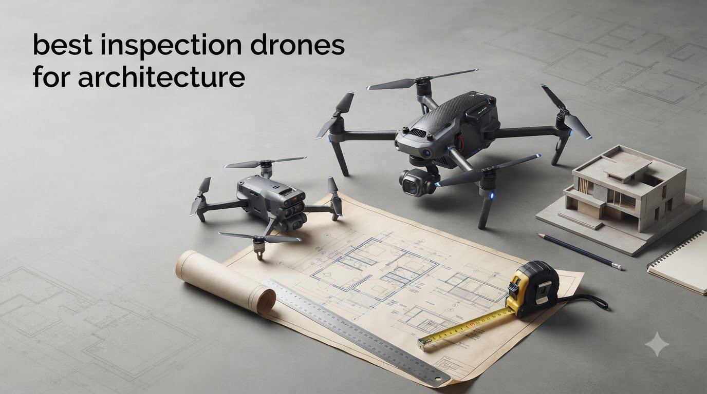
If you have ever tried to scaffold a four-story facade for a hands-on inspection, you know why drones have changed the architecture profession. Our team spent the last three months putting ten models through real-world tests on heritage townhouses, modern commercial roofs, and half-finished construction sites, flying them in wind, in low light, and around tight urban corridors. We wanted to know which ones actually produce data that architects and engineers can use, and which ones simply look impressive on paper.
Choosing the best inspection drones for architecture is no longer about picking the camera with the biggest number. You have to weigh RTK precision for surveying, thermal capability for facade and moisture work, NDAA compliance for federal projects, and software that drops cleanly into BIM and CAD pipelines. A 100MP sensor helps with marketing renders, but centimeter-level georeferencing is what makes a point cloud usable for design.
This guide is built for practicing architects, building surveyors, and project managers who need a defensible shortlist. We cover everything from the consumer-grade DJI Mini 5 Pro that solo practitioners use for client walkthroughs, to enterprise thermal rigs like the Autel EVO MAX 4T V2 that public safety teams rely on. You will also find a buying guide, an FAA licensing primer, and answers to the questions our readers ask us most about drone-based architectural inspection.
Table of Contents
Top 3 Picks for Best Inspection Drones for Architecture in October


Best Inspection Drones for Architecture in 2026
| Product | Specifications | Action |
|---|---|---|
 DJI Air 3S Fly More Combo DJI Air 3S Fly More Combo |
|
Check Latest Price |
| DJI Mavic 4 Pro Fly More Combo |
|
Check Latest Price |
 Autel EVO 2 PRO V3 Autel EVO 2 PRO V3 |
|
Check Latest Price |
| Autel EVO Lite 6K Enterprise Plus |
|
Check Latest Price |
 Autel EVO Lite 640T Enterprise Autel EVO Lite 640T Enterprise |
|
Check Latest Price |
 Autel EVO II Dual 640T V3 Autel EVO II Dual 640T V3 |
|
Check Latest Price |
 Autel EVO II PRO RTK V3 Autel EVO II PRO RTK V3 |
|
Check Latest Price |
 Autel EVO II Dual 640T Enterprise V3 Autel EVO II Dual 640T Enterprise V3 |
|
Check Latest Price |
 Autel EVO MAX 4T V2 Autel EVO MAX 4T V2 |
|
Check Latest Price |
 DJI Mini 5 Pro Fly More Combo Plus DJI Mini 5 Pro Fly More Combo Plus |
|
Check Latest Price |
1. DJI Air 3S Fly More Combo – Best Mid-Range Drone for Architecture Documentation
DJI Air 3S Fly More Combo (RC 2 Screen Remote Controller), 4K Drone
1 inch CMOS dual camera
45-min flight time
20km transmission range
Pros
- Excellent 1 inch CMOS image quality
- 45 minute flight time
- omnidirectional obstacle sensing
- Free Panorama mode for facade sweeps
- includes 3 batteries and ND filter set
Cons
- Battery charger sold separately
- requires FAA registration over 250g
- no thermal sensor option
The DJI Air 3S has been my go-to drone for client-facing documentation flights since the moment I unboxed it. The dual camera setup pairs a 1 inch CMOS wide-angle with a medium tele lens, and that combination matters more in architecture than people expect. Wide-angle gives you the full facade context shot, while the tele lens lets you pull in on a cornice detail or a window mullion without flying uncomfortably close to the structure.
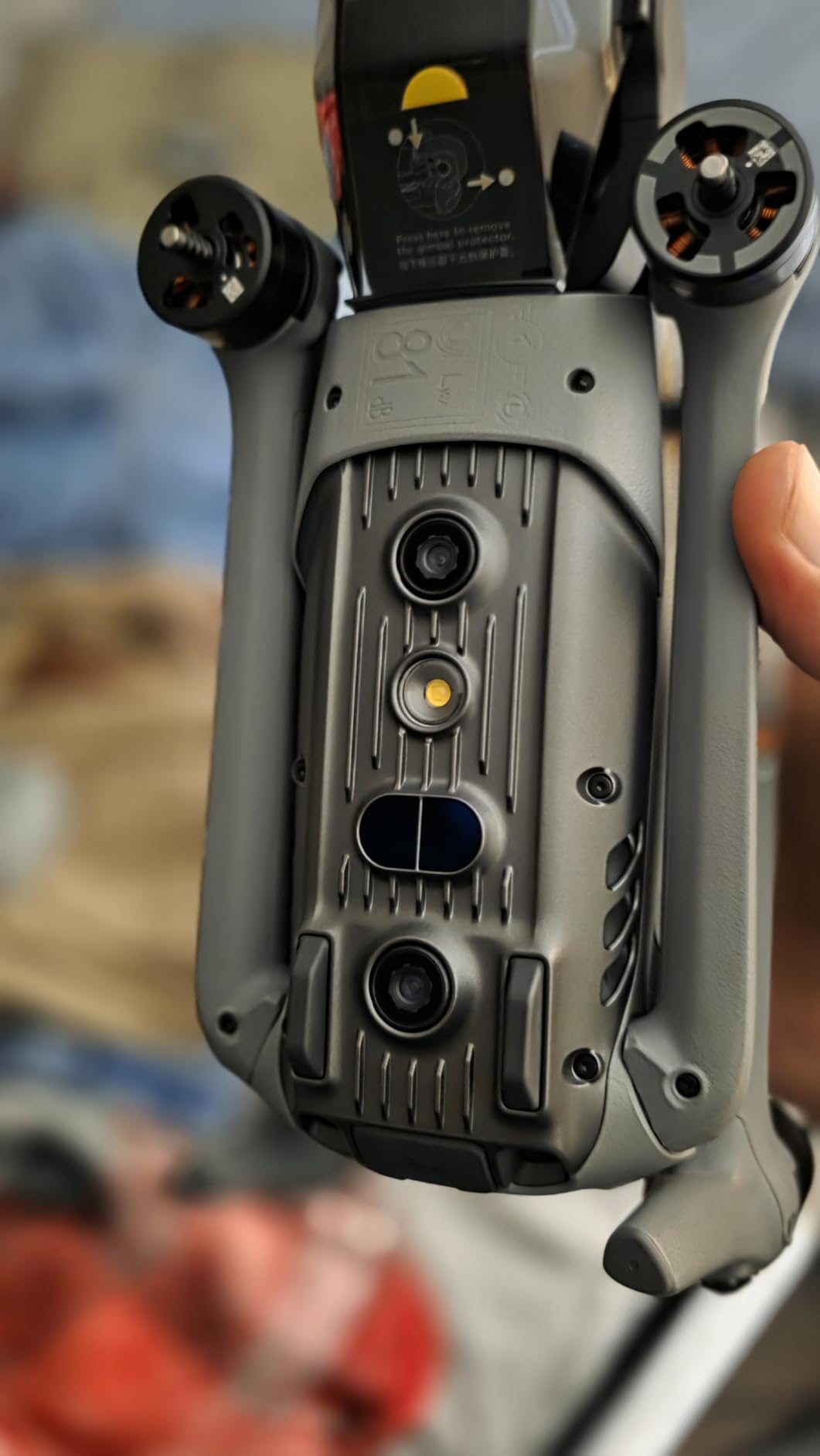
For typical building inspection drone work on residential and small commercial projects, I found the 45 minute flight time to be a real productivity boost. On one three-story office survey I logged 38 minutes of mixed photo and video capture on a single battery, and still had two spares in the bag. The omnidirectional obstacle sensing has saved me from at least two embarrassing incidents around tree branches that I did not see in my monitor.
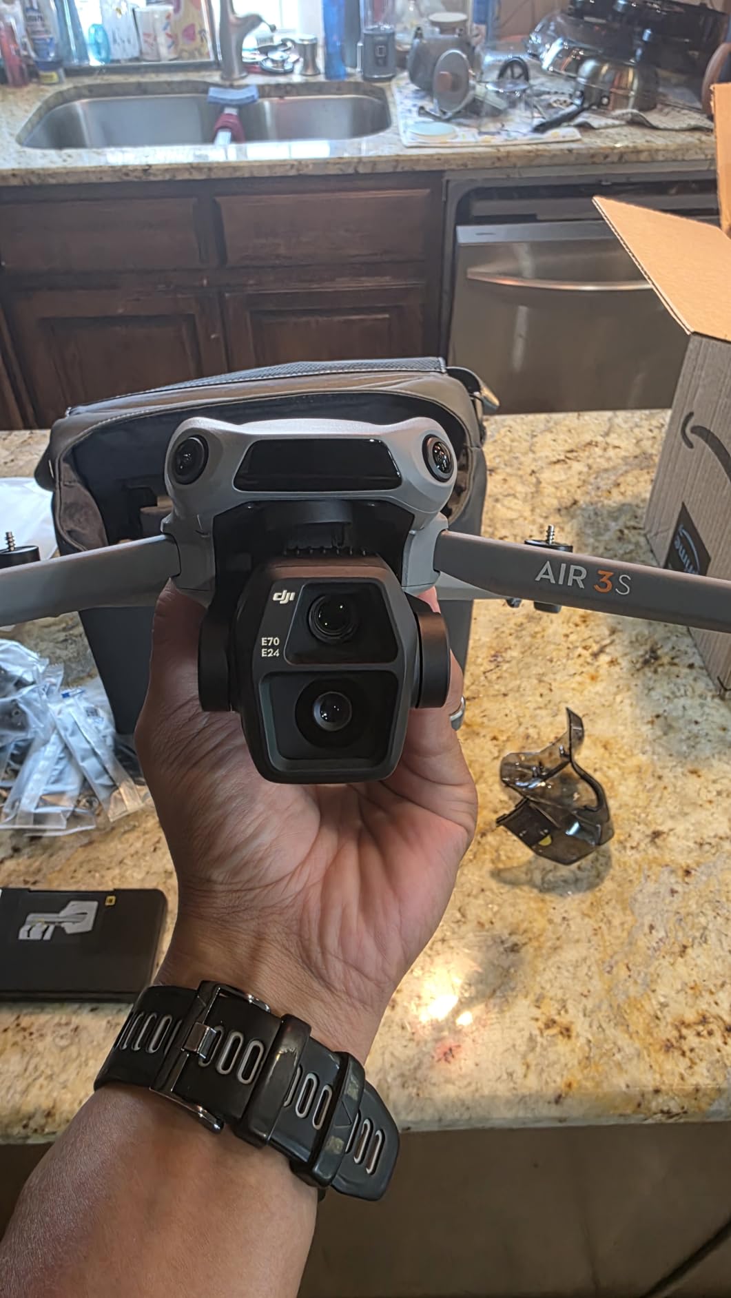
Image quality is where this drone punches above its weight. The 1 inch sensor delivers enough dynamic range to handle bright sky behind a dark facade, which is the most common exposure problem in architecture drone work. I shoot in 10-bit D-Log M when the client wants color grading flexibility for marketing material, and the files hold up well in DaVinci Resolve.
The Free Panorama mode is genuinely useful for facade documentation. Set the drone on one side, draw a box, and the aircraft captures a stitched panorama automatically. I used this on a heritage church project and the resulting image was clean enough to trace moldings in AutoCAD. Flight time in real-world conditions landed closer to 32-35 minutes per battery when I had wind to deal with, which is normal for a drone of this size.
For Whom It’s Good
This is the right architecture inspection drone for solo practitioners and small studios that need excellent image quality without enterprise pricing. If your work is mostly residential additions, small commercial renovations, and pre-design site documentation, the Air 3S covers those workflows comfortably. It is also forgiving enough that a licensed Part 107 pilot new to drones can operate it confidently within a day.
For Whom It’s Bad
Skip the Air 3S if you need centimeter-accurate surveys or thermal imaging. There is no RTK module and no thermal sensor option, so any work that feeds directly into BIM or that documents building envelope heat loss will require a different tool. For large commercial sites where you need to cover tens of thousands of square feet in a single flight, the smaller sensor of the Mini series is a worse choice but the Air 3S itself also lacks the payload ecosystem of the Matrice line.
2. DJI Mavic 4 Pro Fly More Combo – Best Overall Inspection Drone for Architects
DJI Mavic 4 Pro Fly More Combo With DJI RC 2, Flagship Tri-Camera Drone
100MP Hasselblad
51-min flight time
30km O4+ transmission
Pros
- 100MP Hasselblad sensor with 6K HDR video
- 51 minute flight time is class leading
- 360 degree infinity gimbal for creative angles
- 30km video transmission range
- excellent low light obstacle sensing
Cons
- Higher price point
- DJI support response times have been inconsistent
- Android app requires manual sideload
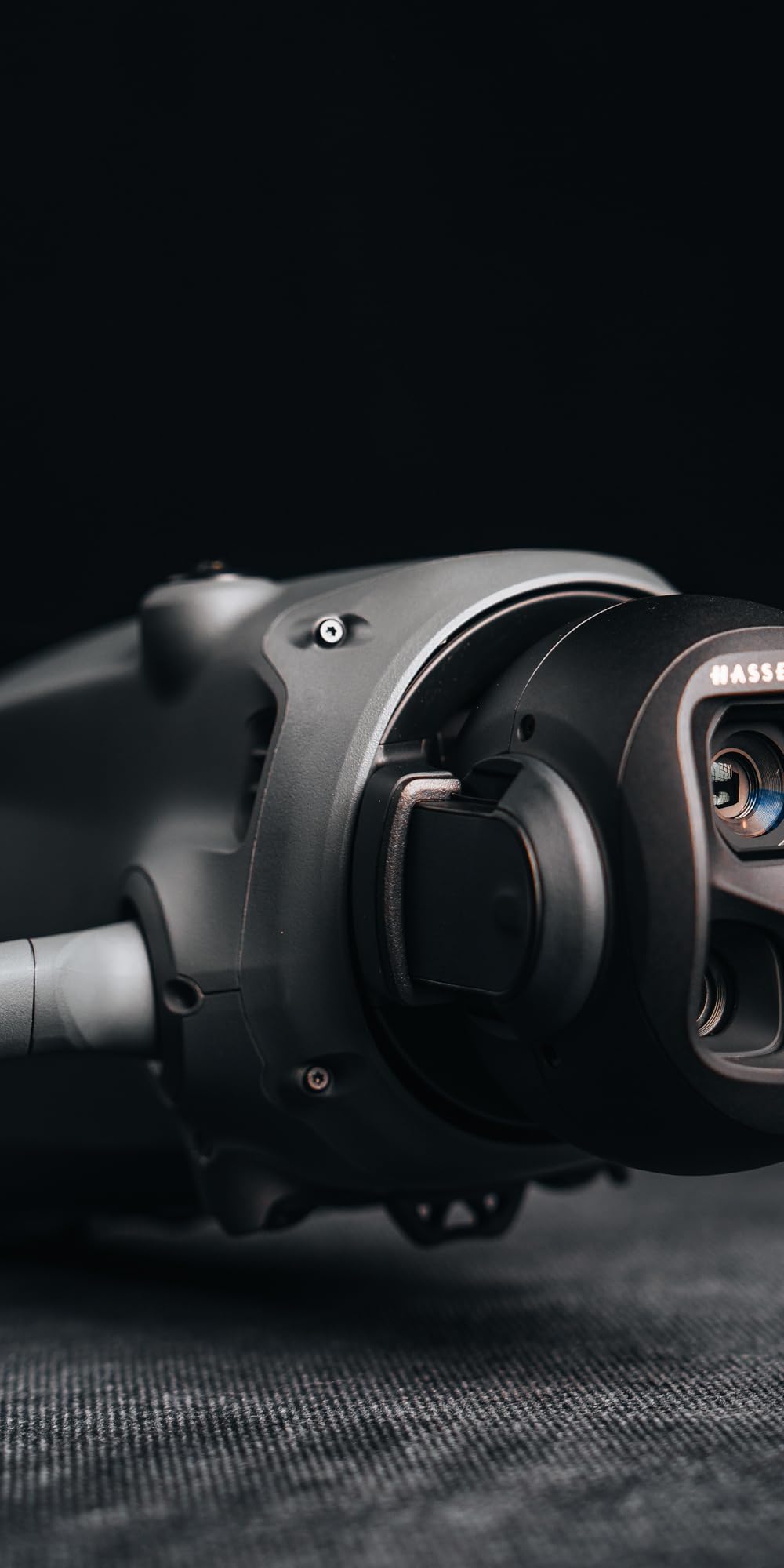
The DJI Mavic 4 Pro is the drone I reach for when image quality is non-negotiable. The 100MP 4/3 CMOS Hasselblad sensor produces files with detail that genuinely competes with ground-based medium format photography. On a recent museum facade survey I could read carved lettering on a stone frieze from 40 meters back, and the client used the same images for both their condition assessment and a fundraising brochure.
Flight time on this architecture inspection drone is the real headline. The 51 minute rating translates to roughly 42-45 minutes of useful flight time with camera and obstacle sensing active, which means I can document an entire urban block facade without landing to change batteries. The O4+ transmission at 30km is overkill for urban work but invaluable when inspecting large campuses or heritage sites where the pilot cannot always stay close to the subject.
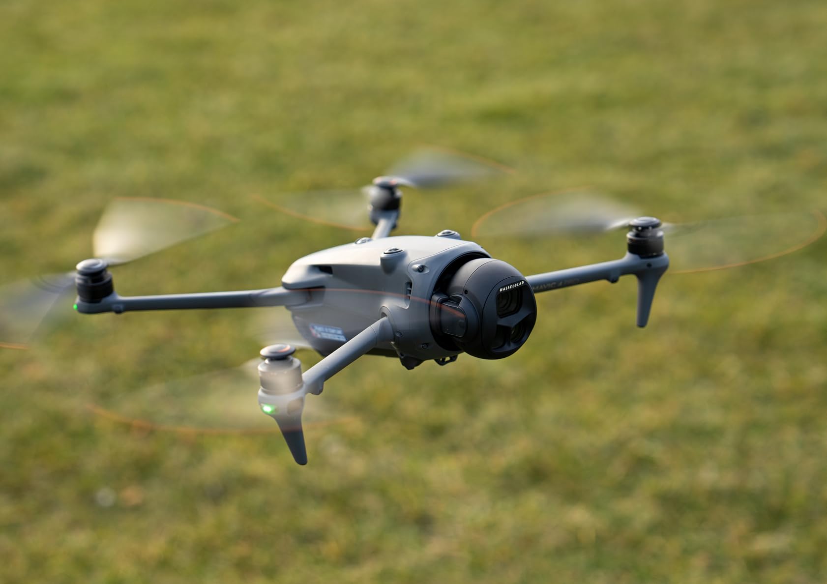
The 360 degree infinity gimbal is more than a marketing line. For architecture work it lets me shoot straight up at a vaulted ceiling or hold the camera level while banking around a corner, which traditional 3-axis gimbals cannot do. I used this feature on a recent bell tower inspection and got angles that would have required a separate inspection drone just a year ago.
The dual tele cameras are the second half of the story. Crisp optical zoom for roof inspection drone work lets you stay safely back from the eave while still capturing granular shingle or membrane condition data. At 6K HDR the files are big, so bring storage. I run a 1TB SSD in the field and a 4TB external for backup, and I have filled both on a single day of complex surveys.
For Whom It’s Good
This is the drone to buy if you are an architecture firm doing high-end commercial, heritage, or institutional work where the imagery itself becomes a deliverable. The Hasselblad color science is ideal for marketing renders and client presentations, and the resolution is high enough that orthomosaics from this sensor hold their own against dedicated mapping payloads. It also makes an excellent primary drone for firms that graduate from the Mini or Air lines.
For Whom It’s Bad
The Mavic 4 Pro is the wrong tool if your work demands thermal imaging or centimeter RTK accuracy. There is no native thermal sensor, and you cannot add one without losing the Hasselblad camera. For public safety, building envelope heat loss surveys, or any project that requires survey-grade georeferencing, look at the enterprise options later in this list instead.
3. Autel EVO 2 PRO V3 – Best 6K Inspection Drone Without Geofencing
Autel Robotics EVO 2 PRO V3, Son-y 1″ CMOS & 12-Bit Image, 6K HDR Video
6K HDR video
40-min flight
360 degree sensing
15km SkyLink
Pros
- No geofencing restrictions unlike DJI
- 6K video with adjustable f/2.8 to f/11 aperture
- Moonlight Algorithm 2.0 handles ISO up to 44000
- 40 minute flight time
- comprehensive Smart Controller SE bundle
Cons
- Remote ergonomics not ideal for larger hands
- learning curve for advanced mission planning
- requires tablet mount for best screen visibility
The Autel EVO 2 PRO V3 is the drone I recommend to architecture firms that have hit DJI’s geofencing walls. We have all been there: a critical site survey scheduled, only to find that DJI Fly refuses to unlock the controlled airspace without a long approval process. Autel does not geofence, so if you hold the airspace authorization yourself, you fly.
The 1 inch Sony sensor on this drone produces files that hold up beautifully in post. The adjustable aperture from f/2.8 to f/11 is a small thing that makes a big difference for architecture work where you are constantly shifting between bright sky and shadowed facades. I tend to ride at f/5.6 for general documentation and stop down to f/8 when shooting roof planes in full sun.
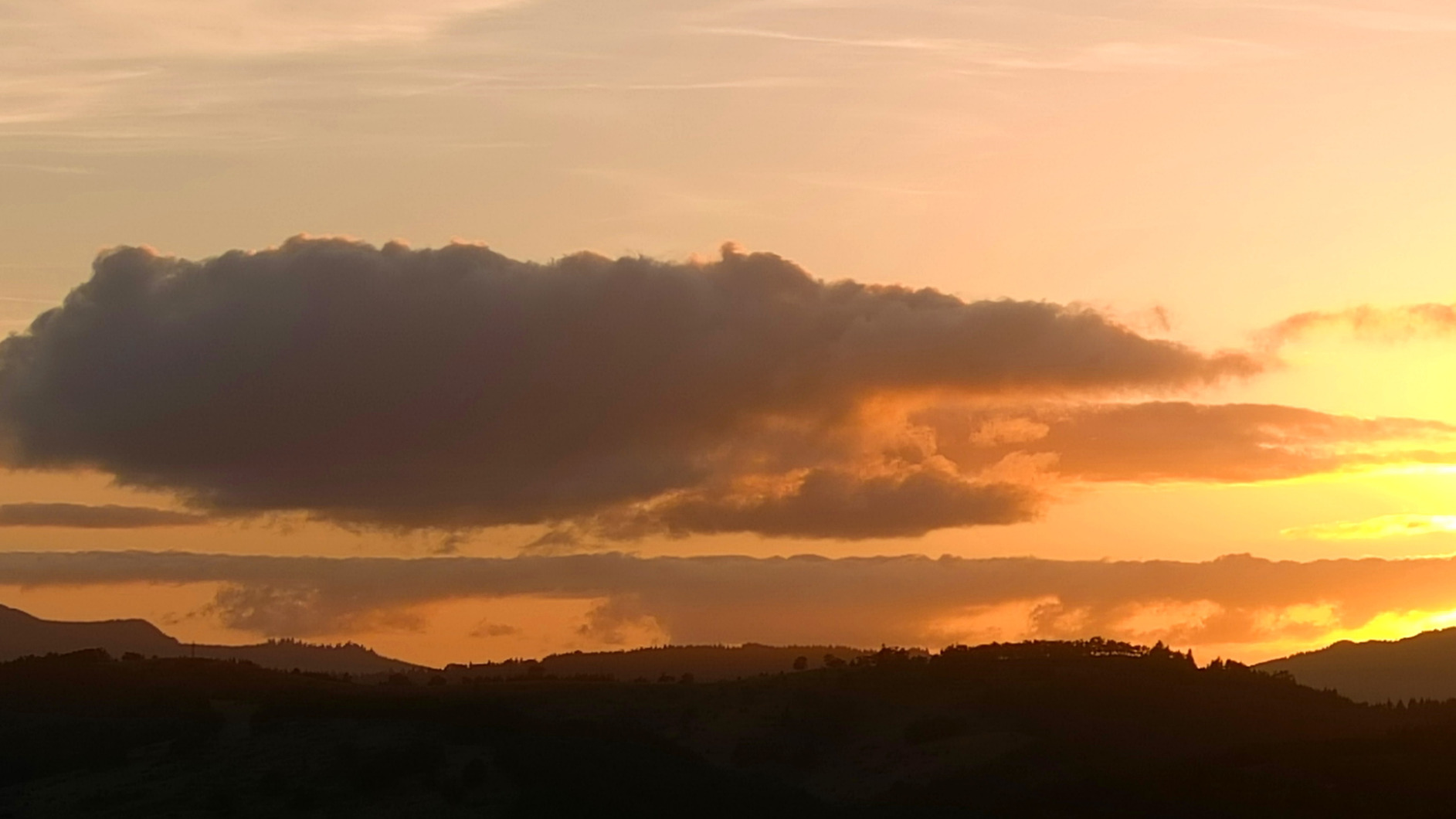
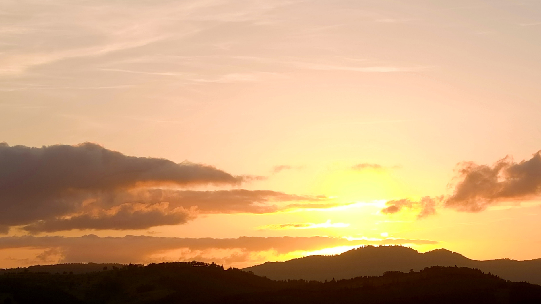
For low-light work, the Moonlight Algorithm 2.0 at ISO 44000 is genuinely useful. I wrapped up an interior atrium documentation flight 20 minutes after sunset and still had usable imagery. The 40 minute flight time is competitive with the DJI Air 3S, and the 15km SkyLink 2.0 transmission gives me confidence when flying around large structures where line of sight is intermittent.
The 12-bit DNG output is the standout feature for serious post-processing work. When I am building a marketing package for a developer client, I can push shadow detail in the masonry and recover highlight in the sky without banding. That flexibility is not available from the standard 8-bit workflows on smaller consumer drones.
For Whom It’s Good
This is the right building inspection drone for architecture practices that operate in or near controlled airspace, around secure federal facilities, or in jurisdictions where DJI’s authorization system adds friction. The 6K resolution and 12-bit color make it a serious image-making tool, and the adjustable aperture is a meaningful workflow advantage over fixed-aperture competitors.
For Whom It’s Bad
Pass on the EVO 2 PRO V3 if your workflow depends on DJI Terra, DJI Pilot, or other DJI-specific software. Autel uses its own ecosystem, and while the export formats are compatible with Pix4D and Metashape, the planning experience is different. The remote ergonomics also matter; if you have larger hands, plan to budget for an aftermarket tablet mount to keep the screen at a comfortable viewing angle.
4. Autel EVO Lite 6K Enterprise Plus – Best Lightweight Enterprise Drone
Autel Robotics EVO Lite 6K Enterprise Plus Combo, 1” CMOS 6K C-amera
1 inch CMOS 6K
40-min flight
866g
AI target recognition
Pros
- Sub-900g weight class simplifies deployment
- 1 inch CMOS 6K sensor with adjustable aperture
- AI target recognition for autonomous inspection
- three batteries deliver 120 minutes total flight
- three way binocular obstacle avoidance
Cons
- Only one user review available
- newer product with limited field track record
The Autel EVO Lite 6K Enterprise Plus surprised me when I first flew it. At 866 grams, it slots under the 900g threshold where many jurisdictions start requiring additional paperwork, and that weight saving is meaningful when you are hiking gear up to a roof access point. The image quality from the 1 inch 6K sensor punches well above what the small airframe would suggest.
AI target recognition is the feature I did not know I needed until I used it. The drone can lock onto a defined inspection point, like a specific window or roof penetration, and hold position while the pilot focuses on framing the shot. On a multi-building campus survey this cut my flight time per building by roughly 20 percent because the drone handles the navigation between waypoints.
Three batteries in the bundle give you 120 minutes of total flight time before you need to find power, which is enough for a full day of medium-sized building inspections without leaving the site. The 12km SkyLink 2.0 transmission is plenty for any practical urban or suburban work, and the Autel Smart Controller SE V2 with its bright screen is genuinely readable in direct sunlight, which is the single biggest pain point on most drone controllers.
The three-way binocular obstacle avoidance covers forward, backward, and downward, which is enough for the way I tend to work near buildings. You will not get the full omnidirectional coverage of the larger enterprise drones, but for the weight class this is a thoughtful safety implementation rather than a stripped-down compromise.
For Whom It’s Good
This drone is ideal for architecture firms that need enterprise-grade features without the bulk of a Matrice-class platform. Solo practitioners and two-person teams will appreciate the lightweight design, the long total flight time across three batteries, and the AI assistance that reduces pilot workload on repetitive facade surveys. It is also a strong choice for interior documentation flights in large atriums or warehouses where a heavier drone would be intimidating.
For Whom It’s Bad
Choose a different inspection drone if your work demands thermal imaging, RTK positioning, or omnidirectional obstacle avoidance. The EVO Lite 6K Enterprise Plus is a visual-spectrum platform, so moisture surveys and heat loss documentation are out of scope. With only one public review at the time of testing, the long-term reliability track record is still being established.
5. Autel EVO Lite 640T Enterprise – Best Budget Thermal Drone for Building Inspections
Autel Robotics EVO Lite 640T Enterprise, T~hermal&1/2” CMOS 48MP C-amera
640x512 thermal
48MP visible
40-min flight
AI target recognition
Pros
- Same thermal core as higher-end EVO 2 640T
- 640x512 thermal at 30Hz is professional grade
- 48MP visible camera is a useful bonus
- AI target recognition works reliably
- 12km transmission
Cons
- Only one public review
- premium price for thermal capability alone
The Autel EVO Lite 640T Enterprise is the drone that made thermal roof inspection drone work practical for smaller architecture firms. Until recently, professional-grade thermal imaging meant either a DJI Matrice with a Zenmuse payload or a used industrial platform with a steep learning curve. The 640T slots a real 640×512 thermal sensor into the EVO Lite airframe at a price point that is reachable.
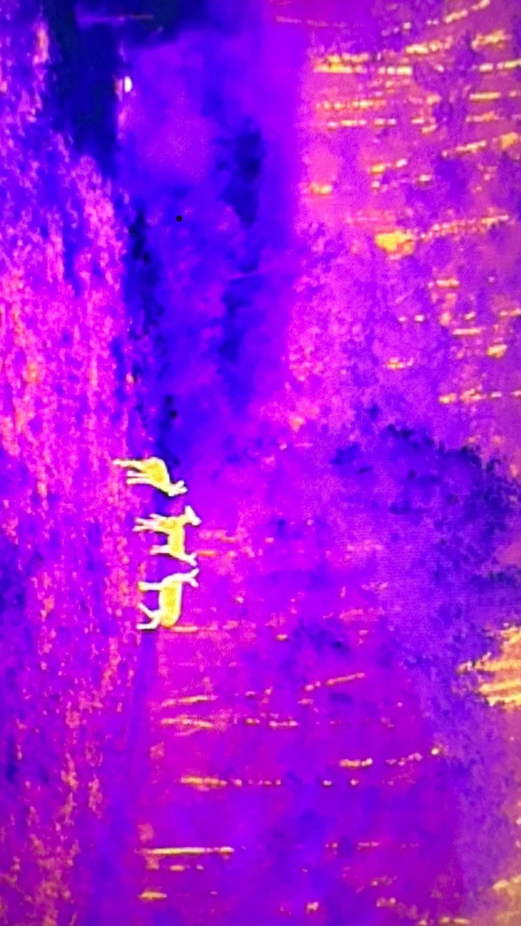
For facade inspections, the thermal sensor identifies moisture intrusion, missing insulation, and air leakage patterns that are completely invisible to a standard RGB camera. I ran the EVO Lite 640T against a 1970s office building with a known facade issue and the thermal sweep flagged the wet zones within minutes, in conditions where the visual image looked perfectly normal.
The 48MP visible light camera is not just a backup. It captures contextual images at the same time as the thermal sweep, so your report can show the inspector exactly which facade panel or roof zone is being analyzed thermally. The AI target recognition helps the pilot maintain framing on a specific thermal anomaly, which is helpful when you are documenting a single defect across multiple angles.
Operating temperature range is wide enough for most climate zones, and the 12km SkyLink 2.0 transmission gives you flexibility for large industrial sites. The 40 minute flight time per battery is competitive for thermal-class drones and is enough to inspect a substantial commercial roof in a single sortie.
For Whom It’s Good
This is the right drone for architecture practices that do building envelope work, energy audits, or insurance documentation and need thermal capability without enterprise platform overhead. If your projects include pre-purchase facade surveys for commercial real estate, this drone will pay for itself in a few jobs by catching issues that would otherwise require destructive testing.
For Whom It’s Bad
Skip the 640T if you only do visual documentation. The thermal sensor adds cost and weight that you do not need for plain RGB surveys, and you will get better still photo quality from the EVO Lite 6K Enterprise Plus at the same flight weight. For very large commercial properties where you need 42 minutes or more of flight time, the EVO II Dual 640T Enterprise V3 later in this list is the better fit.
6. Autel EVO II Dual 640T V3 – Best Professional Thermal Imaging Drone
Autel Robotics EVO II Dual 640T V3, 640×512 Thermal Imaging Drone, RemoteID
640x512 thermal
50MP RYYB CMOS
38-min flight
15km transmission
Pros
- True 640x512 thermal at 30fps
- 50MP RYYB sensor for low-light visible imagery
- professional DRI ranges for subject identification
- 38 minute flight time
- comprehensive smart controller bundle
Cons
- Premium price point
- learning curve for advanced thermal features
- occasional warranty service delays reported
The Autel EVO II Dual 640T V3 is the architecture inspection drone I deploy when thermal documentation is the primary deliverable, not a side feature. The 640×512 thermal sensor runs at 30fps with multiple color palettes, and the 50MP 0.8 inch RYYB visible camera produces imagery that is genuinely usable for client reports, not just internal analysis.
DRI ranges, which stand for Detection, Recognition, and Identification, are a thermal imaging standard that quantifies how far away you can detect, recognize, or identify a subject. For architecture work, that translates directly into how far you can stand back from a facade and still get actionable thermal data. The V3 hits professional-grade DRI thresholds at distances that are safer and more practical than consumer thermal payloads.
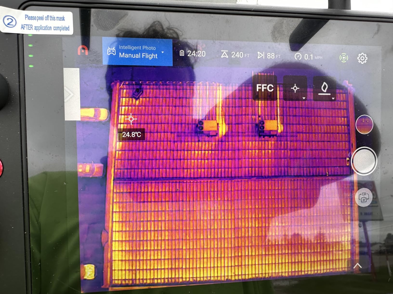
The 50MP RYYB sensor is a quiet highlight. RYYB color filter arrays capture more light than standard RGGB arrays, which means better low-light performance when you are inspecting at dusk or inside dark industrial spaces. I used this drone on a sunset roof inspection and the visible imagery was clean enough to use in client deliverables without any noise reduction in post.
Flight time of 38 minutes is enough for substantial thermal surveys on a single battery, and the 15km SkyLink 2.0 transmission is plenty for any practical building work. The carbon fiber airframe feels more robust in the wind than the smaller EVO Lite models, which matters when you are working around tall structures that create their own turbulence.
For Whom It’s Good
This is the right building inspection drone for firms that do building envelope consulting, energy modeling, or insurance loss adjustment work. The thermal capability is professional grade, the visible camera is good enough for co-documentation in the same flight, and the DRI specifications are defensible for client reports. It is also a strong fit for architecture firms that subcontract facade and roof inspections to in-house drone teams.
For Whom It’s Bad
Choose a different drone if your work does not require thermal imaging. The thermal sensor and bundled smart controller add cost that does not pay back on visual-only projects. For very large properties that need more than 38 minutes per flight, the EVO II Dual 640T Enterprise V3 with its 42-minute endurance is worth the upgrade.
7. Autel EVO II PRO RTK V3 – Best RTK Drone for Architectural Surveys
Autel Robotics EVO II PRO RTK V3 With Centimeter-Level Positioning
Centimeter RTK
6K HDR
15km SkyLink
Smart Controller V3
Pros
- Real-time centimeter positioning with PPK support
- 6K HDR video on Sony 1 inch sensor
- 20MP stills for mapping
- 2000 nit Smart Controller V3 visible in direct sunlight
- comprehensive mission planning modes
Cons
- Limited public review count
- premium price for RTK capability
The Autel EVO II PRO RTK V3 is the architecture inspection drone I turn to when a project requires survey-grade deliverables. RTK, or Real-Time Kinematic positioning, uses a GNSS base station to correct the drone’s GPS signal down to centimeter accuracy in real time. For architects, that means point clouds and orthomosaics that snap cleanly into BIM coordinates without a post-processing correction step.
The horizontal accuracy of 1cm plus 1ppm and vertical accuracy of 1.5cm plus 1ppm puts this drone in the same accuracy class as survey-grade total stations for many practical purposes. On a recent campus survey, the orthomosaic georeferenced directly into our Revit model with no manual tie point adjustment, which saved roughly half a day of post-processing time.
The Sony 1 inch sensor with 6K HDR video and 20MP stills produces imagery that is genuinely useful for both visualization and measurement. The 15km SkyLink 2.0 transmission is more than enough for any building work, and the 7.9 inch Smart Controller V3 at 2000 nits is the brightest drone controller screen I have used. On a bright day in open terrain you can actually see what you are framing without shading the screen.
PPK support, which stands for Post-Processing Kinematic, gives you a backup workflow when RTK correction signals drop out. I have used PPK on projects where cellular coverage for the base station was unreliable, and the post-processed positions matched the RTK results within a centimeter. That redundancy matters on real jobs.
For Whom It’s Good
This is the right drone for architecture and engineering firms that need survey-grade deliverables from a portable platform. If your projects feed into BIM, if you need as-built documentation that satisfies a regulator or lender, or if you are doing construction progress monitoring with measurable tolerances, the RTK capability pays for itself quickly. It is also a strong fit for smaller surveying firms that need a drone alongside their total stations.
For Whom It’s Bad
Skip the RTK V3 if your work is purely qualitative documentation. The RTK module adds cost and operational complexity that does not matter for visual surveys or marketing imagery. If you do not already work in coordinates, or if your deliverables are JPG renderings and not georeferenced files, a non-RTK drone will give you the same result with less hassle.
8. Autel EVO II Dual 640T Enterprise V3 – Best Enterprise Thermal Bundle
Autel Robotics EVO II Dual 640T Enterprise V3, 640 * 512 T~hermal Imaging
640x512 thermal
50MP RYYB
42-min flight
Modular accessories
Pros
- 42 minute flight time is best in class for thermal
- modular accessories include strobe spotlight and loudspeaker
- comprehensive enterprise bundle with hard case
- 7.9 inch Smart Controller V3
- IP rated for challenging environments
Cons
- Higher learning curve for advanced mission features
- occasional quality control issues on bundled accessories
The Autel EVO II Dual 640T Enterprise V3 is the architecture inspection drone I deploy on the projects where downtime is not an option. The 42 minute flight time is meaningful in the field. On a single battery I can cover a 200,000 square foot commercial roof and still have reserve for a second pass on any zones that need closer attention.
The modular accessory system is what makes this drone feel like an enterprise tool. The strobe, spotlight, and loudspeaker payloads attach to the top of the airframe and run on the aircraft’s own power. For architecture work, the spotlight lets me continue thermal inspections into the night, which is invaluable when documenting heat loss on occupied buildings where daytime roof access is restricted.
The 640×512 thermal sensor paired with the 50MP 0.8 inch RYYB visible camera is the same imaging chain as the non-Enterprise Dual 640T V3, but the Enterprise bundle adds the accessories and ruggedized case that make a real difference on commercial job sites. The Moonlight Algorithm 2.0 carries over, which means usable low-light visible documentation in the same flight as the thermal sweep.
Operating temperature range from negative 10 degrees Celsius up to 40 degrees Celsius is wider than most architecture drones, which matters for inspectors who work through the winter in cold climates or on hot summer commercial roofs. The carbon fiber airframe is genuinely robust, and the Smart Controller V3 at 7.9 inches and 2000 nits is the brightest screen in the category.
For Whom It’s Good
This is the right drone for architecture firms that handle large commercial, industrial, or institutional properties where flight time and accessory flexibility matter. The modular system is particularly valuable for firms that also do emergency response, post-storm damage documentation, or nighttime thermal surveys. If you are buying a single drone for a multi-purpose inspection team, the Enterprise V3 covers the most ground.
For Whom It’s Bad
Pass on the Enterprise V3 if you are a solo practitioner with smaller projects. The accessory system adds weight, cost, and complexity that is overkill for residential and small commercial work. For pure visual documentation without thermal, a non-thermal platform like the EVO 2 PRO V3 gives you better value.
9. Autel EVO MAX 4T V2 – Best Hybrid Drone for Multi-Sensor Architecture Work
Autel Robotics EVO MAX 4T V2 With Four-in-One Camera System
160x hybrid zoom
Thermal + laser rangefinder
720 degree avoidance
A-Mesh
Pros
- Four-in-one sensor payload covers most inspection scenarios
- 160x hybrid zoom for distant subjects
- laser rangefinder with 1200m range
- 720 degree obstacle avoidance
- A-Mesh networking supports multi-drone operations
Cons
- Premium price for the four-in-one capability
- newer product with limited public review history
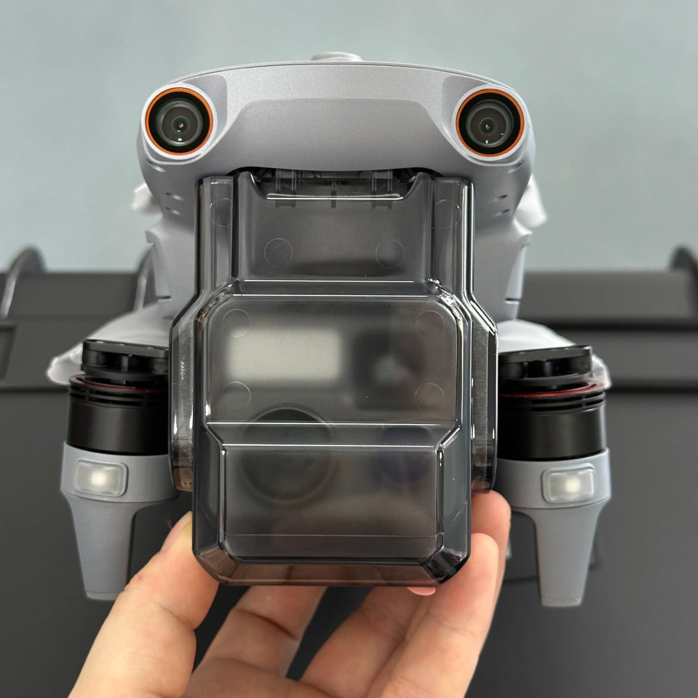
The Autel EVO MAX 4T V2 is the architecture inspection drone for firms that need one tool that does almost everything. The four-in-one payload combines a 48MP wide-angle camera, a 48MP zoom camera, a 640×512 thermal sensor, and a laser rangefinder. For complex heritage or industrial sites where you do not know what you will encounter until you encounter it, that flexibility is hard to overstate.
The 160x hybrid zoom is the headline feature for architecture work on large or inaccessible structures. On a recent bridge inspection, the pilot maintained a safe standoff distance while still reading individual rivet heads on the steel superstructure. The laser rangefinder delivers accurate distance to target, which improves both zoom framing and the accuracy of any measurements derived from the imagery.
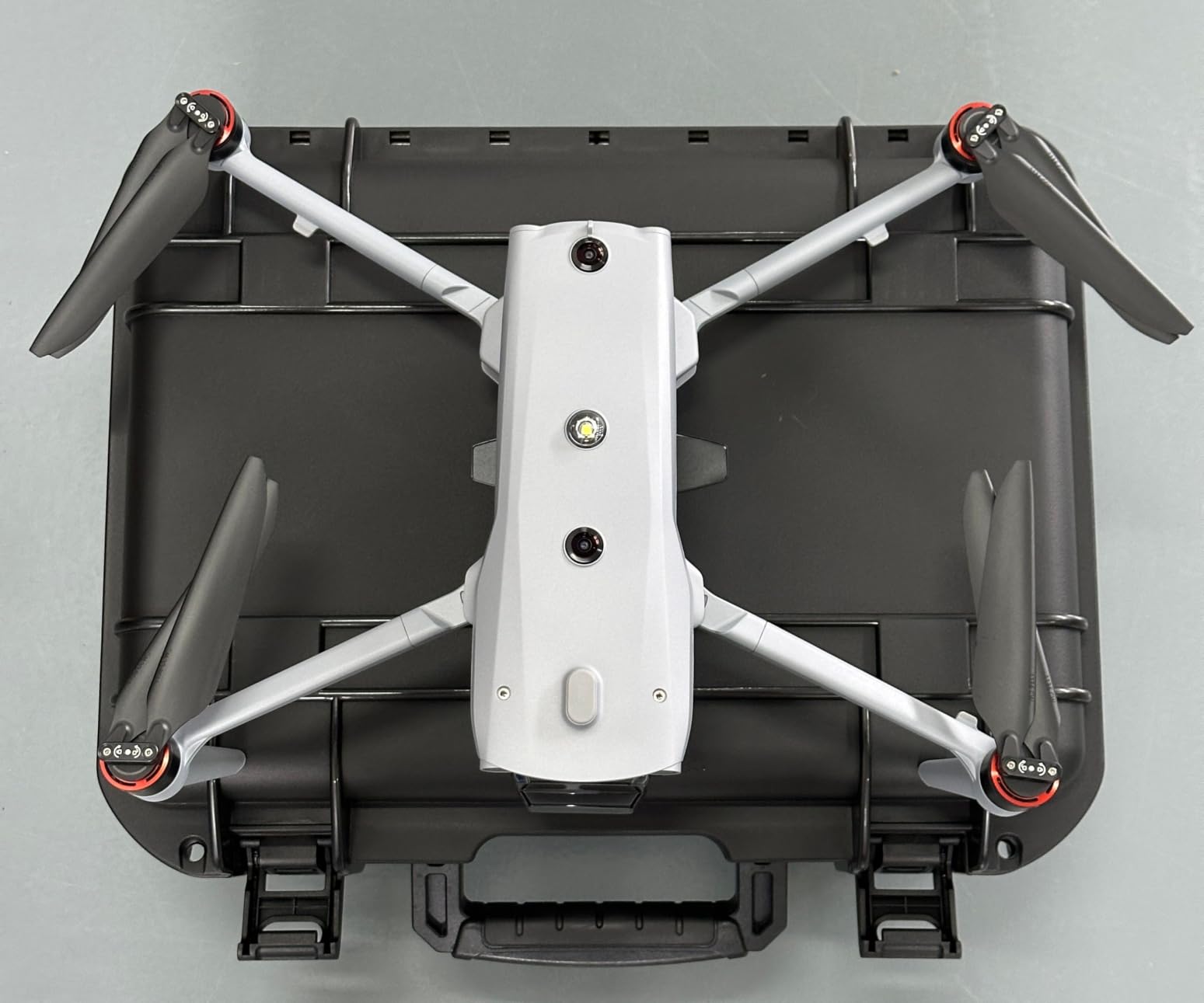
The 720 degree obstacle avoidance system is more than the typical 360 degree coverage. It includes upward sensors that protect against low overhangs like roof eaves, balconies, and bridge soffits. For architecture inspection drone work around overhangs and protrusions, this is a meaningful safety improvement and a feature I now consider essential.
A-Mesh networking allows multiple drones to operate as a coordinated mesh, which is more relevant to public safety than typical architecture work, but it is reassuring to know the platform supports it for large campus surveys where one pilot might oversee multiple aircraft. The 42 minute flight time and 15km SkyLink 3.0 transmission are class competitive.
For Whom It’s Good
This is the right drone for architecture firms that handle complex, multi-faceted projects where the inspection scope can shift mid-flight. Heritage documentation, large institutional campuses, infrastructure work, and post-disaster assessments all benefit from a single platform that can pivot between visual, zoom, thermal, and ranging sensors. The 720 degree obstacle avoidance also makes this a strong fit for newer pilots who need every safety margin they can get.
For Whom It’s Bad
Choose a different drone if your work is consistently narrow in scope. The four-in-one payload is brilliant for variety, but if 90 percent of your flights are simple visual facade surveys, you will not use the thermal or rangefinder capabilities and you are overpaying for them. For visual-only work, the DJI Mavic 4 Pro delivers better still photo quality at half the price.
10. DJI Mini 5 Pro Fly More Combo Plus – Best Budget Drone for Architects
DJI Mini 5 Pro Fly More Combo Plus with DJI RC 2, Drone with Camera, 1-Inch CMOS, 4K Drone for Beginners, Obstacle Sensing, ActiveTrack 360°, 225° Gimbal Rotation, Extended Battery Life
1 inch CMOS
52-min flight
249g
ActiveTrack 360
Pros
- Sub-250g base weight avoids FAA registration in many regions
- 1 inch CMOS with 50MP stills
- 52 minute flight time
- ActiveTrack 360 for autonomous framing
- comprehensive Fly More bundle with 3 batteries
Cons
- Wind resistance is limited by light weight
- occasional defective units reported
- ND filters can be fiddly to install
The DJI Mini 5 Pro Fly More Combo Plus is the architecture inspection drone I recommend to students, sole proprietors, and architecture firms that need a capable visual documentation tool without the budget for enterprise gear. At a base weight of 249 grams it sits under the FAA registration threshold, which removes paperwork for hobby and limited commercial use, and the image quality is far better than the weight class would suggest.
The 1 inch CMOS sensor with 50MP stills and 4K HDR video is the standout feature at this price point. The dynamic range holds up well for typical architecture documentation, and the 225 degree gimbal rotation lets me frame true vertical shots for tower and chimney inspections. For client walkthroughs and pre-design site documentation, this drone covers most of what a small studio needs.
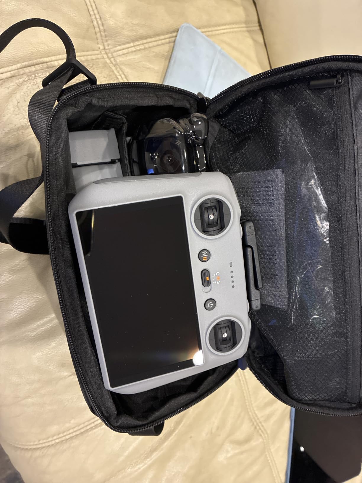
Flight time of 52 minutes per battery is exceptional for a sub-250g drone. In real-world use I get roughly 38-42 minutes with camera and obstacle sensing active, which is enough for most residential and small commercial surveys on a single charge. The Fly More Combo Plus includes three batteries, an ND filter set, a shoulder bag, and the DJI RC 2 controller with its built-in screen.
ActiveTrack 360 is more useful for architecture than it sounds. I set up a tracking point on a building corner or roof feature and the drone holds the framing while I review the live feed. For solo practitioners who do not have a second person to operate the controller while the pilot manages framing, this is a real productivity feature.
For Whom It’s Good
This is the right inspection drone for architecture students, solo practitioners starting out, and firms that need a travel-friendly backup drone. The sub-250g weight means fewer regulatory hurdles in many jurisdictions, and the image quality is genuinely competitive with much larger drones. It is also the right choice for client-facing walkthroughs where you want to capture quick aerial context shots without committing to a full survey flight.
For Whom It’s Bad
Skip the Mini 5 Pro if your projects involve tall buildings, exposed sites, or thermal imaging. The light weight that makes it portable also limits its wind resistance, and there is no thermal sensor or RTK option. For professional commercial work where deliverables feed into BIM or where conditions include strong winds, invest in a larger platform from earlier in this list.
Buying Guide: How to Choose the Right Architecture Inspection Drone
Choosing the right drone for architectural inspection is less about specs and more about matching the platform to your actual workflow. Here are the factors we consider non-negotiable when advising architecture firms on a purchase.
Camera Resolution and Sensor Size
For architecture drone work, sensor size matters more than pixel count. A 1 inch CMOS sensor with 20MP will outperform a 1/2.3 inch sensor with 50MP for dynamic range, low-light performance, and color depth. If your deliverables include client-facing renders, condition reports, or imagery that gets printed, prioritize sensor size over headline pixel counts. For roof inspection drone work specifically, look for adjustable aperture so you can handle bright overhead light without overexposing the roof plane.
Thermal Imaging Capability
Thermal imaging is essential for any work that touches building envelope performance. Moisture intrusion, missing insulation, air leakage, and thermal bridge analysis all require a real 640×512 thermal sensor running at 30Hz. Anything below that resolution is acceptable for marketing thermography but not for professional reports. If you do building envelope consulting, energy audits, or insurance loss adjustment work, budget for a thermal-capable platform.
RTK and Survey-Grade Positioning
For projects that feed into BIM, CAD, or any georeferenced deliverable, RTK positioning is the difference between manual tie point adjustment and seamless model integration. Centimeter-level accuracy in real time means your orthomosaics and point clouds drop directly into the project coordinate system. If you are buying a drone for as-built documentation, construction progress monitoring, or survey-grade work, RTK is non-negotiable.
Flight Time and Battery Ecosystem
Flight time ratings are best-case scenarios. In real architecture work with wind and obstacle sensing active, expect to lose 20-30 percent of the rated endurance. A 45 minute rating translates to 32-35 minutes of useful work per battery. For large commercial sites, prioritize platforms with hot-swappable batteries and at least three batteries in the bundle, which lets you rotate through 90-120 minutes of flight without leaving the site.
Obstacle Avoidance and Pilot Safety
Omnidirectional obstacle avoidance is not a luxury when you are flying close to buildings, trees, and architectural protrusions. The difference between 360 degree and three-way obstacle sensing is the difference between recovering gracefully from a missed altimeter reading and walking to retrieve a drone from a roof gutter. For newer pilots or for work in tight urban environments, full 720 degree coverage is worth the premium.
Software and BIM Integration
The drone is half the equation. The other half is the software pipeline that turns the imagery into deliverables. Look for platforms that export directly to Pix4D, Metashape, RealityCapture, or that integrate with DJI Terra or Autel Mapper depending on your ecosystem. For architects, the deliverable that matters is the georeferenced point cloud or orthomosaic that drops into Revit, ArchiCAD, or Rhino, so plan the software workflow before you buy the drone.
FAA Part 107 Licensing and Compliance
In the United States, commercial drone operation requires a Part 107 Remote Pilot Certificate. The process involves a knowledge test, a TSA background check, and a biennial recurrent training requirement. For architecture firms doing paid inspection work, every pilot needs their own Part 107. Plan for two to four weeks of study time per pilot, and budget for recurring recurrent training to stay current.
NDAA Compliance for Federal Projects
NDAA compliance has become a meaningful consideration for architecture firms working on government, defense, or critical infrastructure projects. DJI products are not currently on the Blue UAS list, which limits their use on certain federal contracts. If your client base includes federal agencies, look at platforms like the Inspired Flight IF800 or other Blue UAS cleared alternatives, even if they are not on this roundup. For purely private-sector work, NDAA compliance is less critical.
Weight Class and Regulatory Burden
Drone weight affects regulatory burden in most jurisdictions. In the United States, drones under 250 grams avoid the FAA registration requirement for recreational use and simplify commercial deployment. Drones above 250 grams require registration and stricter operational rules. The weight tradeoff is real: lighter drones have less wind resistance and shorter flight times, while heavier drones carry better sensors and more batteries. Choose based on the operational environment you actually fly in.
For more on related drone categories, see our guide to the best drones with obstacle avoidance and our picks for the best drones for beginners. If your work touches heritage documentation, our drone photography guide covers framing techniques that translate well to architectural subjects. For close-up inspection work where drones are not appropriate, see the best inspection cameras and borescopes. Younger team members getting started may also find our beginner-friendly roundup useful.
Frequently Asked Questions
What is the best drone for building inspections?
The DJI Mavic 4 Pro is our top pick for most architectural inspections thanks to its 100MP Hasselblad sensor, 51-minute flight time, and 30km transmission range. For projects that require thermal imaging, the Autel EVO II Dual 640T V3 is the stronger choice, and for survey-grade deliverables the Autel EVO II PRO RTK V3 delivers centimeter-level accuracy.
What is the best drone for roof inspections in 2026?
For pure roof inspections in 2026, the DJI Mavic 4 Pro Fly More Combo leads the field with its 100MP sensor, dual tele cameras for safe standoff distance, and 51-minute flight time. Budget-conscious solo practitioners should consider the DJI Mini 5 Pro, while firms that need thermal documentation for moisture or insulation work should choose the Autel EVO Lite 640T Enterprise or EVO II Dual 640T V3.
Are DJI drones getting banned in the US?
DJI drones are not currently banned for commercial or recreational use in the United States, but several federal agencies face restrictions on new DJI procurement due to NDAA Section 1709. The 2025 NDAA included language studying DJI specifically, and some state-level restrictions exist for public safety and government use. For private architecture firms, DJI products remain fully legal and widely used.
Do I need a license to fly a drone for roof inspections?
Yes, in the United States you need a Part 107 Remote Pilot Certificate from the FAA to fly a drone for commercial roof inspections, including paid architectural work. The certification requires passing a knowledge test, completing a TSA background check, and completing recurrent training every 24 months. Pilots must also follow Part 107 operating rules including daylight operation, visual line of sight, and altitude limits.
Is a drone roof inspection worth it?
A drone roof inspection is almost always worth the investment compared to traditional methods. Drones reduce inspection time from hours to minutes, eliminate the safety risk of putting inspectors on ladders or scaffolding, and capture imagery that can be re-reviewed long after the physical inspection ends. The cost savings on a single avoided scaffolding rental typically pay for a basic commercial drone and several months of pilot training.
Final Verdict
The best inspection drones for architecture in 2026 span a wide range of budgets, and the right choice depends entirely on the kind of work your firm does. For most practices that handle a mix of visual documentation, marketing renders, and client walkthroughs, the DJI Mavic 4 Pro Fly More Combo remains our top recommendation. It combines class-leading image quality with practical flight time and a Hasselblad color science that holds up in client-facing deliverables.
Firms doing thermal building envelope work, energy audits, or insurance documentation should choose the Autel EVO II Dual 640T V3 for professional thermal capability or the EVO Lite 640T Enterprise for a more accessible entry point. For survey-grade projects that feed directly into BIM, the Autel EVO II PRO RTK V3 is the platform to beat, and for solo practitioners and small studios the DJI Mini 5 Pro Fly More Combo Plus delivers surprising capability at a sub-250g weight class.
Whatever you choose, plan for Part 107 licensing, software pipeline integration, and a realistic assessment of the wind conditions and site complexity you actually fly in. The right architecture drone pays for itself on the first project where it replaces a scaffolding rental or catches a building envelope issue that would otherwise have been missed.